Weather
Flood Watch Issued As Heavy Rain, Thunderstorms Threaten NYC
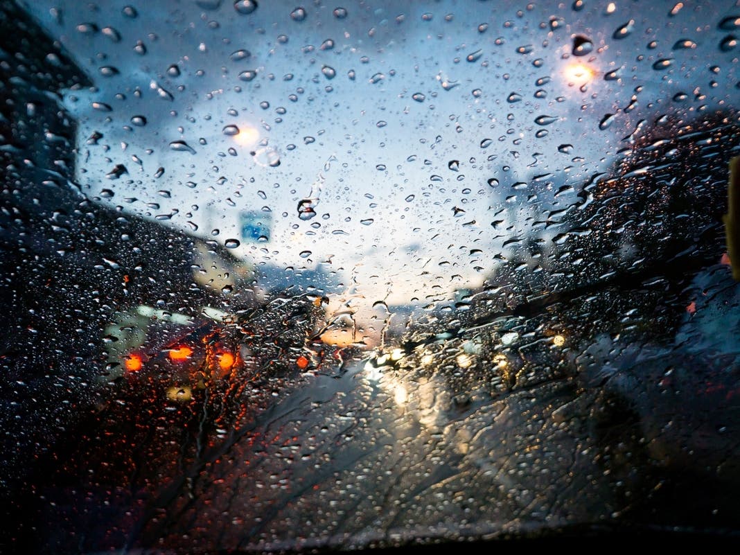
City officials are urging New Yorkers to prepare now as the storm closes in on the city.

NEW YORK CITY — The New York City Department of Emergency Management is urging New Yorkers to prepare for flash flooding on Monday afternoon as heavy rain and thunderstorms move into the city.
The National Weather Service is issuing a Flood Watch for all five boroughs in effect from 2 p.m. Monday through 6 a.m. Tuesday.
Forecasters say up to two inches of rain could fall across the city, with higher amounts possible in stronger thunderstorms.
Find out what's happening in Central Parkfor free with the latest updates from Patch.
"Rain will likely begin late in the morning, intensify throughout the afternoon, and continue overnight. We may experience severe thunderstorms with wind gusts reaching up to 50 mph," Mayor Zohran Mamdani said.
The National Weather Service says some thunderstorms on Monday afternoon and evening could produce heavy rainfall and cause roadway flooding and hazardous travel conditions.
Find out what's happening in Central Parkfor free with the latest updates from Patch.
However, despite the rain, the city is expected to reach a high near 75 degrees on Monday before temperatures settle around 69 degrees overnight.
"These showers will have the potential to produce up to around 2 inches of rainfall per hour," forecasters from the National Weather Service said. "These rates could result in flash flooding mainly over urban and poor drainage areas, but may also cause smaller stream and creeks to flood. Most spots likely see 1 to 2 inches in total for the afternoon and night, but locally up to 3 inches cannot be ruled out."
What To Do During Flash Flooding
People who live in basement or ground-floor apartments, low-lying neighborhoods, or areas that have experienced flooding in the past face a greater risk during flash flooding events.
If thunderstorms develop, officials advise residents to move indoors and stay out of basements.
Residents should move away from windows, avoid touching electrical equipment or plumbing during thunderstorms, and monitor emergency alerts closely.
If a Flash Flood Warning or Flash Flood Emergency is issued, officials say people should move to higher ground immediately and not wait for flooding to become visible.
Authorities also warned residents never to walk or drive through floodwaters.
Here is the latest forecast from the National Weather Service.
Monday: A chance of showers, then showers likely and possibly a thunderstorm after 2 p.m. Some of the storms could produce heavy rainfall. Cloudy, with a high near 75. Southeast wind 6 to 9 mph. Chance of precipitation is 60 percent. New rainfall amounts between a half and three-quarters of an inch possible.
Monday night: Showers and possibly a thunderstorm. Some of the storms could produce heavy rainfall. Steady temperature around 69. South wind 5 to 9 mph. Chance of precipitation is 90 percent. New rainfall amounts between a half and three-quarters of an inch possible.
Tuesday: Showers likely and possibly a thunderstorm before 2 p.m., then a slight chance of showers. Mostly cloudy, with a high near 77. West wind 5 to 7 mph becoming north in the afternoon. Chance of precipitation is 60 percent. New rainfall amounts between a tenth and quarter of an inch, except higher amounts possible in thunderstorms.
Tuesday night: Mostly cloudy during the early evening, then gradual clearing, with a low around 64. Northwest wind around 7 mph.
Wednesday: Sunny, with a high near 83. Northwest wind around 6 mph.
Wednesday night: Mostly clear, with a low around 66.
Thursday: Mostly sunny, with a high near 83.
For questions, email Miranda.Levingston@Patch.com.
Get more local news delivered straight to your inbox. Sign up for free Patch newsletters and alerts.