Weather
Major Shift In Weather Pattern Coming To NYC Area: Forecasters
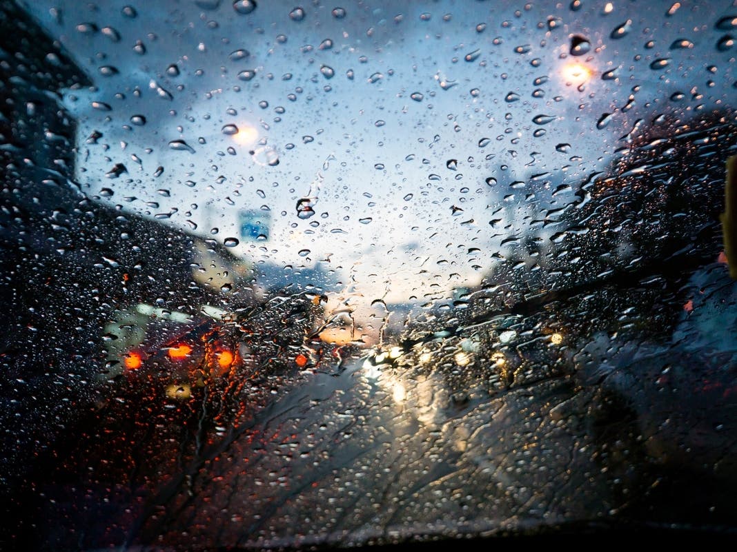
New York City is in for a week of thunder, rain showers, and fluctuating spring temperatures.

NEW YORK CITY — It's going to be a chaotic week for the weather in New York City, with temperatures in the 70s and rain on tap every day, according to forecasters. It's part of what the National Weather Service calls a continuing "unsettled pattern."
The week will start mild and windy, with gusts up to 29 miles per hour on Monday. Rain could arrive as early as Monday afternoon, with a possibility of storms after 2 p.m.
Rain remains in the forecast on Tuesday, which will give way to sharply rising temperatures. The predicted high on Tuesday is 77 degrees, while Wednesday will see more rain and will top out at 76 degrees.
Find out what's happening in Central Parkfor free with the latest updates from Patch.
A thunderstorm is predicted to soak the city overnight on Wednesday after 8 p.m., dropping up to a quarter of an inch of rain, before petering out on Thursday, forecasters said.
Temperatures will sharply plummet Thursday as cool air hits the region, with a possible drastic temperature shift from Wednesday's high-70s down to Thursday's high-50s, the forecast shows.
Find out what's happening in Central Parkfor free with the latest updates from Patch.
A chance of rain remains in the forecast every day through the weekend. Clarity on the chances of precipitation is likely in the coming days.
Here's the latest forecast from the National Weather Service.
Monday: A 20 percent chance of showers after 2 p.m. Partly sunny, with a high near 68. Southwest wind 11 to 13 mph, with gusts as high as 29 mph.
Monday night: Showers likely, mainly after 5 a.m. Mostly cloudy, with a low around 57. Southwest wind around 10 mph, with gusts as high as 21 mph. Chance of precipitation is 60%. New precipitation amounts of less than a tenth of an inch possible.
Tuesday: Showers likely, mainly before 8 a.m. Mostly cloudy, with a high near 77. Southwest wind around 10 mph, with gusts as high as 22 mph. Chance of precipitation is 60%. New precipitation amounts of less than a tenth of an inch possible.
Tuesday night: Mostly cloudy, with a low around 63. South wind around 11 mph, with gusts as high as 24 mph.
Wednesday: Showers likely, with thunderstorms also possible after 5 p.m. Partly sunny, with a high near 76. Southwest wind 11 to 13 mph, with gusts as high as 25 mph. Chance of precipitation is 60%. New rainfall amounts of less than a tenth of an inch, except higher amounts possible in thunderstorms.
Wednesday night: Showers likely before 8 p.m., then showers likely and possibly a thunderstorm between 8 p.m. and 2 a.m., then a chance of showers after 2 a.m. Mostly cloudy, with a low around 51. Chance of precipitation is 60%. New rainfall amounts between a tenth and quarter of an inch, except higher amounts possible in thunderstorms.
Thursday: A 30 percent chance of showers before 2 pm. Mostly cloudy, with a high near 56.
Thursday night: A 40 percent chance of rain. Cloudy, with a low around 48.
Friday: A 30 percent chance of rain after 2 p.m. Mostly cloudy, with a high near 69.
Friday night: A 40 percent chance of rain before 2 a.m. Mostly cloudy, with a low around 57.
For questions, email Miranda.Levingston@Patch.com.
Get more local news delivered straight to your inbox. Sign up for free Patch newsletters and alerts.