Weather
Hazardous Outlook Kicks Off Poughkeepsie's Work Week Weather
An early band of snow could hit during the evening rush hour, meteorologists say.


POUGHKEEPSIE, NY — The National Weather Service has issued hazardous weather outlooks for Dutchess, Orange, Rockland, Putnam, Ulster and northern Westchester counties for overnight Monday. But some meteorologists are concerned that the advancing front may bring an early band of snow through the Hudson Valley during the Monday evening commute.
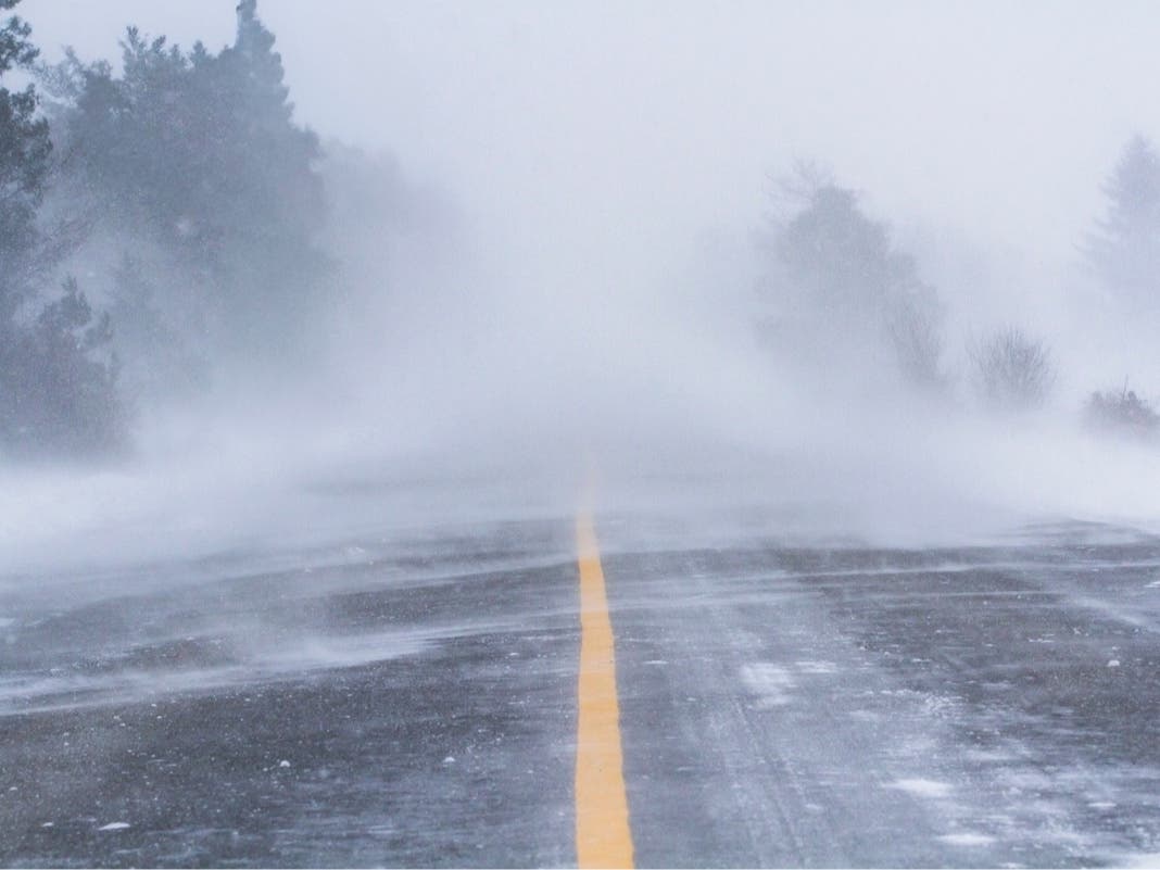
"A short burst of snow can’t be ruled out," said Alex Marra and Bill Potter of Hudson Valley Weather. "It doesn’t look too potent, but the timing couldn’t be worse. We could be seeing some reduced visibility, with slick spots due to accumulating snow."
After that, the NWS says:
Find out what's happening in Mid Hudson Valleyfor free with the latest updates from Patch.
A light wintry mix of precipitation is likely late tonight into early Tuesday morning. A period of freezing rain is possible early Tuesday morning in the sheltered valleys of interior southern Connecticut and the Lower Hudson Valley where the cold air is able to remain in place the longest, but any accumulations should be limited to a light glaze.
After that, we're going to get more seasonable weather: blustery, colder and with intermittent applications of wintry mix.
Here's the work-week forecast for the mid-Hudson Valley from the NWS:
Find out what's happening in Mid Hudson Valleyfor free with the latest updates from Patch.
- Monday Night: Snow likely before 5am, then snow and sleet likely. Cloudy, with a low around 26. Light southeast wind becoming south 5 to 9 mph in the evening. Chance of precipitation is 60%. Total nighttime snow and sleet accumulation of less than one inch possible.
- Tuesday: Rain showers, snow, freezing rain, and sleet likely before 3pm, then a slight chance of rain showers after 4pm. Mostly cloudy, with a high near 44. South wind 5 to 7 mph. Chance of precipitation is 60%. Little or no ice accumulation expected. New snow and sleet accumulation of less than a half inch possible.
- Tuesday Night: Rain before 1am, then a chance of rain and snow. Low around 35. South wind 5 to 10 mph becoming west after midnight. Chance of precipitation is 80%. New snow accumulation of less than a half inch possible.
- Wednesday: A chance of rain and snow before 1pm, then a chance of rain between 1pm and 4pm, then a chance of rain and snow after 4pm. Mostly cloudy, with a high near 40. Northwest wind 9 to 14 mph. Chance of precipitation is 40%. New snow accumulation of less than a half inch possible.
- Wednesday Night: A chance of snow showers, mainly before 7pm. Mostly cloudy, with a low around 29. Northwest wind 10 to 14 mph. Chance of precipitation is 30%.
- Thursday: Mostly cloudy, with a high near 34.
- Thursday Night: Partly cloudy, with a low around 17.
- Friday: Mostly sunny, with a high near 25.
- Friday Night: Partly cloudy, with a low around 13.
Map via AccuWeather.com
Get more local news delivered straight to your inbox. Sign up for free Patch newsletters and alerts.