Weather
Hazardous Weather Outlook Issued For The Mid-Hudson Valley
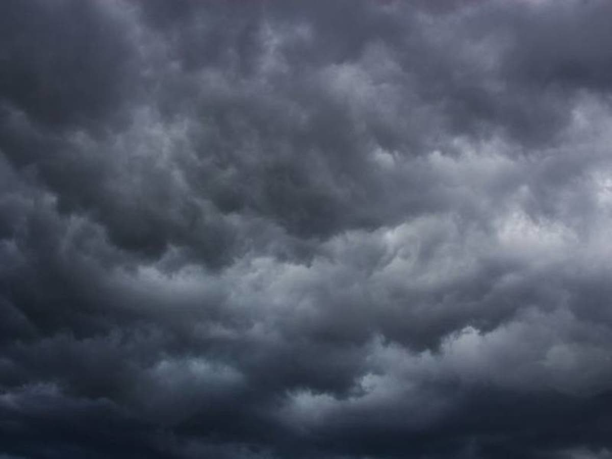
Periods of heavy rain may cause localized flooding; high winds could bring down some tree limbs, the NWS says.

POUGHKEEPSIE, NY — The National Weather Service has issued a Hazardous Weather Outlook in the mid-Hudson Valley.
Periods of heavy rain may cause localized flooding of urban, low lying, poor drainage areas and small creeks Tuesday. Strong southeast winds are possible in favored locations, such as the Taconics, southern Green Mountains, Berkshires, as well as the eastern Catskills and southern Adirondacks. This may result in a few downed tree limbs, which may cause some isolated power outages.
Thunderstorms are possible Wednesday afternoon into Wednesday evening along or ahead of a cold front, some of which may produce strong to damaging wind gusts. The Storm Prediction Center has placed all of eastern New York and adjacent western New England within a Slight Risk for severe thunderstorms for Wednesday. Additional showers and thunderstorms may also cause localized urban and low lying flooding on Wednesday as well, especially for any locations that experience heavy rain Tuesday.
Find out what's happening in Mid Hudson Valleyfor free with the latest updates from Patch.
Get more local news delivered straight to your inbox. Sign up for free Patch newsletters and alerts.