Weather
Winter Storm Warnings Issued For Parts Of Hudson Valley
The National Weather Service has upgraded several counties from winter weather advisories.

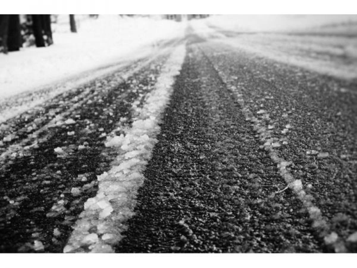
Forecasts change, and the National Weather Service has upped the ante for parts of the Hudson Valley for Tuesday's snowstorm. There are now winter storm warnings for areas north of Westchester and Rockland County.
Warnings are in effect for Orange and Putnam counties from 6 a.m. Tuesday to 6 a.m. Wednesday.
For Columbia, Dutchess and Ulster counties, the warnings are in effect from 10 a.m. Tuesday to 6 a.m. Wednesday.
Find out what's happening in Mid Hudson Valleyfor free with the latest updates from Patch.
The warning for Putnam calls for heavy mixed precipitation, with total snow accumulations of 5 to 7 inches and ice accumulations of around 1/10th inch expected.
Orange's warning is the same except ice accumulation is expected to be between 1/10th and 2/10th of an inch.
Find out what's happening in Mid Hudson Valleyfor free with the latest updates from Patch.
For Putnam and Orange, plan on slippery road conditions and a long period of snow, sleet and freezing rain. The hazardous conditions will impact the morning or evening commute.
The warning for Dutchess calls for heavy mixed precipitation with total snow and sleet accumulations of 6 to 8 inches. Ice accumulations of 1/10 to 1/4 inch are expected.
For Ulster and Columbia counties, snow and sleet from 6 to 10 inches and ice of 1/10th to 1/4 inch are expected.
The NWS said for Dutchess, Columbia and Ulster, travel will be difficult to dangerous for the Tuesday evening commute. Snow will come down heavily at times in the afternoon mixing with and changing to sleet late in the day with a changeover to freezing rain at night. Snow rates around an inch per hour are possible Tuesday afternoon.
Get more local news delivered straight to your inbox. Sign up for free Patch newsletters and alerts.