Weather
NYC Weather: Heavy Rain To Bring Flood Threat
The National Weather Service has issued a hazardous weather outlook for the thunderstorms that will shower NYC into Friday.

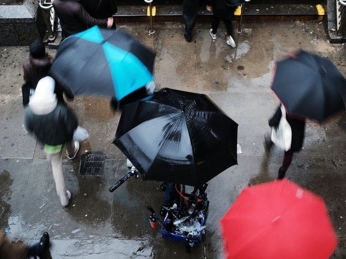
NEW YORK, NEW YORK — Another bout of rain will shower over New York City before sun brings in a warm summer weekend, forecasters predict.
The National Weather Service has issued a "Hazardous Weather Outlook" for southeast New York, including all five NYC boroughs, and southern Connecticut for Thursday, when showers and thunderstorms late in the day could bring flooding. A flash flood warning is also in effect just below the city in northeast New Jersey.
The hazardous outlook, issued around 5:15 a.m. Thursday, will only last overnight and into early Friday morning though. Sunny skies and high temperatures are predicted for the rest of the weekend.
Find out what's happening in New York Cityfor free with the latest updates from Patch.
Rain won't start to pick up until later this afternoon, ramping up the showers into the night, according to the NWS.
Here's the forecast in detail, courtesy of the National Weather Service:
Find out what's happening in New York Cityfor free with the latest updates from Patch.
Thursday
A 30 percent chance of showers and thunderstorms after 2pm. Increasing clouds, with a high near 83. South wind 8 to 14 mph.
Thursday Night
Showers and thunderstorms, mainly before 2am. Some of the storms could produce heavy rain. Low around 71. Southeast wind 6 to 10 mph becoming southwest after midnight. Chance of precipitation is 90%. New rainfall amounts between 1 and 2 inches possible.
Friday
Partly sunny, with a high near 88. West wind 6 to 11 mph.
Friday Night
Mostly clear, with a low around 70. Northwest wind 5 to 7 mph.
Saturday
Sunny, with a high near 87. West wind around 6 mph.
Saturday Night
Mostly clear, with a low around 74.
Sunday
Mostly sunny, with a high near 88.
Sunday Night
Mostly clear, with a low around 69.
Get more local news delivered straight to your inbox. Sign up for free Patch newsletters and alerts.