Weather
What To Expect From Sunday's Snowstorm: Heavy Snow, Cold Temps
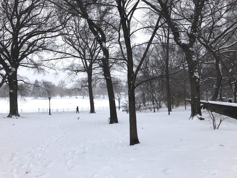
A winter storm warning remains in effect for New York City through 9 p.m. Sunday, as moderate-to-heavy snow is expected.

NEW YORK CITY – As another winter storm hits the city and significant snowfall is forecast, here's what to expect during on Sunday.
A winter storm warning remains in effect for New York City through 9 p.m. Sunday, as moderate-to-heavy snow is expected during the day with accumulations between 4 and 7 inches.
During the day Sunday, the temperatures are expected to fall to 31 degrees by 3 p.m. The wind chill is expected to be between 25 and 30 degrees.
Find out what's happening in New York Cityfor free with the latest updates from Patch.
Sunday night, the temperature is expected to drop to 21 degrees, with wind chills between 10 and 15 degrees.
Here are the reported snow totals as of 1 p.m.:
Find out what's happening in New York Cityfor free with the latest updates from Patch.
- Bridgeport Airport: 4.2"
- Newark Airport: 4.0"
- Central Park 3.0"
- ]LaGuardia 2.2"
- JFK: 2.2"
- Islip Airport: 1.3"
While officials encourage people to stay off the roads, the NYPD has offered winter weather driving tips for those who have to drive during the storm:
- Wipers on, lights on
- Slow down and give yourself more time
- Make sure your vehicle is clear of snow
- Leave extra space between vehicles on the rooad
NYC Emergency Management has shared some winter weather tips on how to help others during storms:
- Check on friends, relatives and neighbors who may need assistance.
- Keep in touch by phone at least twice a day.
- Avoid in-person visits to protect your health and the health of others.
- If you see an individual who appears to be homeless and in need out in the cold, please call 311.
- If you suspect a person is suffering from frostbite or hypothermia, call 911.
Here's the weather forecast for this week:
Sunday
Snow. The snow could be heavy at times. Temperature falling to around 31 by 3pm. Wind chill values between 25 and 30. Northeast wind 8 to 10 mph becoming north in the afternoon. Chance of precipitation is 100%. Total daytime snow accumulation of 3 to 7 inches possible.
Sunday night
A 40 percent chance of snow before 8pm. Partly cloudy, with a low around 21. Wind chill values between 10 and 15. Northwest wind 9 to 14 mph.
Monday
Sunny, with a high near 29. Wind chill values between 10 and 20. Northwest wind 6 to 10 mph.
Monday night
Partly cloudy, with a low around 24. Light and variable wind.
Tuesday
Snow and sleet likely, mainly after 8am. Cloudy, with a high near 36. East wind 5 to 7 mph becoming west in the afternoon. Chance of precipitation is 60%. New snow and sleet accumulation of less than one inch possible.
Tuesday night
A 30 percent chance of snow before 9pm. Mostly cloudy, then gradually becoming mostly clear, with a low around 25.
Wednesday
Mostly sunny, with a high near 32.
Wednesday night
Mostly cloudy, with a low around 23.
Get more local news delivered straight to your inbox. Sign up for free Patch newsletters and alerts.