Weather
Wintry Mix Lingers Over NYC After City Hit By 4 Inches Of Snow
Here's the forecast for Friday: Snow, freezing rain and sleet, then rain and snow followed by more snow.


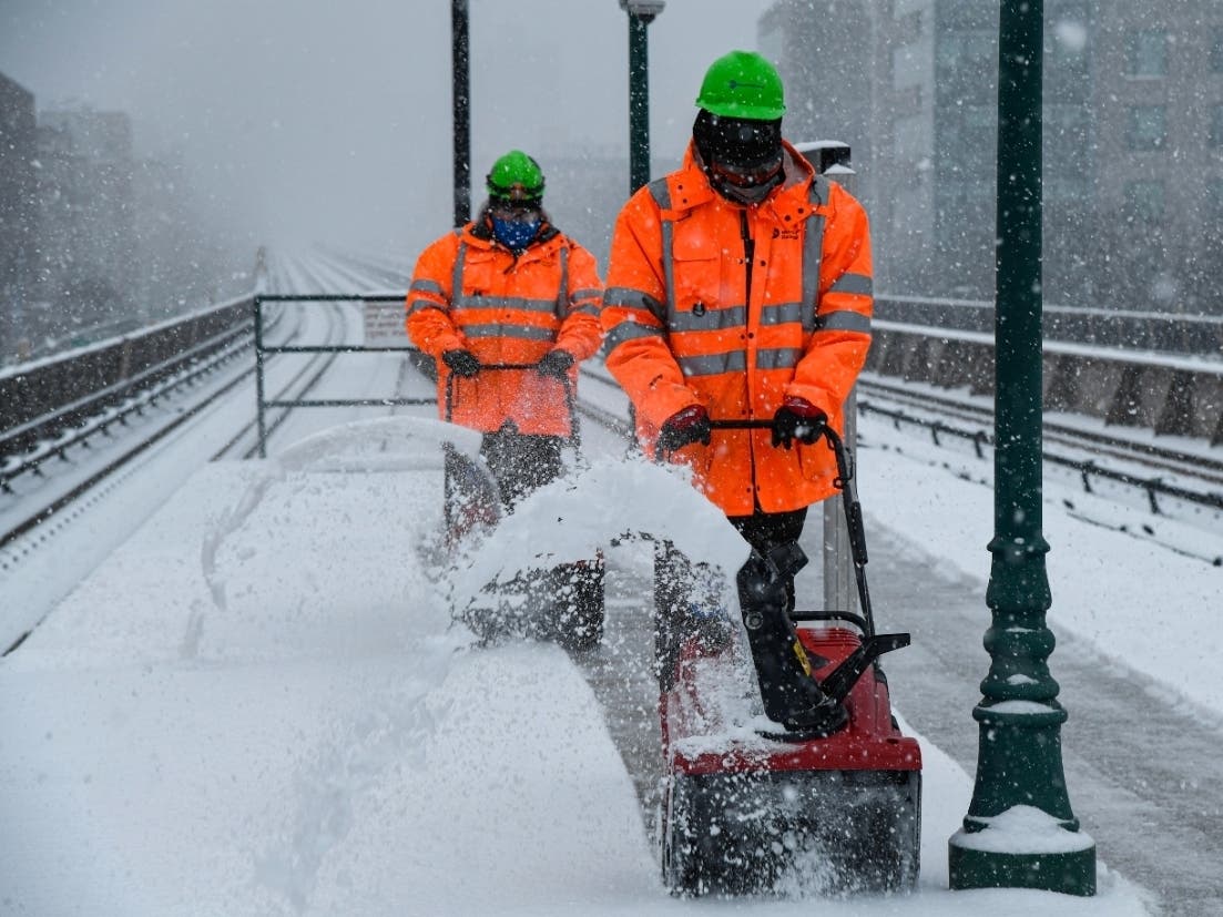
NEW YORK CITY — A cocktail of wintry precipitation will shake up New York City for another day following a snowy blast that blanketed the boroughs with up to 4 inches of fine powder.
The city remains under a winter weather advisory Friday until 7 p.m., according to the National Weather Service.
Expect a wild mix of snow, freezing rain, sleet and rain, forecasters warn.
Find out what's happening in New York Cityfor free with the latest updates from Patch.
"Snow, freezing rain, and sleet before 1pm, then rain and snow likely between 1pm and 2pm, then snow likely after 2pm," the National Weather Service forecast states.
Luckily little or no ice accumulation is predicted, in contrast to sometimes-slippery conditions that developed Thursday evening.
Find out what's happening in New York Cityfor free with the latest updates from Patch.
The winter weather mass first hit the city Thursday and deposited snow in varying amounts across the boroughs.
The latest snow report as of Thursday at 10 p.m. reported:
- Parkchester in the Bronx with 3.5 inches of snow
- Flatbush in Brooklyn with 3.8 inches
- Battery Park in Manhattan with 4.0 inches
- Howard Beach in Queens with 4.5 inches
- Annadale in Staten Island with 4.3 inches
The continued snow Friday likely will affect MTA travel, officials warn. Ridership was lighter than usual on Thursday as crews worked to clear snow from tracks and platforms, officials said.
Subways on Friday will run express service in the morning but shift to local-only in the evening as crews move trains to storage, according to a release. Buses on Friday are on a reduced scheduled with 75 percent service.
Here's the full forecast going into Monday:
Friday
Snow, freezing rain, and sleet before 1pm, then rain and snow likely between 1pm and 2pm, then snow likely after 2pm. High near 34. Wind chill values between 20 and 25. Northeast wind around 10 mph. Chance of precipitation is 80%. Little or no ice accumulation expected. Total daytime snow and sleet accumulation of around an inch possible.
Friday Night
A 50 percent chance of snow, mainly before 8pm. Cloudy, then gradually becoming partly cloudy, with a low around 27. Wind chill values between 20 and 25. Northwest wind 7 to 9 mph.
Saturday
Mostly sunny, with a high near 34. Wind chill values between 15 and 20. Northwest wind 10 to 16 mph.
Saturday Night
Mostly clear, with a low around 22. Wind chill values between 10 and 15. Northwest wind 13 to 16 mph.
Sunday
Sunny, with a high near 34. Northwest wind 6 to 11 mph.
Sunday Night
Increasing clouds, with a low around 27.
Monday
A chance of snow before 11am, then rain likely. Cloudy, with a high near 41. Chance of precipitation is 70%.
Monday Night
A 50 percent chance of showers before 11pm. Mostly cloudy, with a low around 32.
Get more local news delivered straight to your inbox. Sign up for free Patch newsletters and alerts.