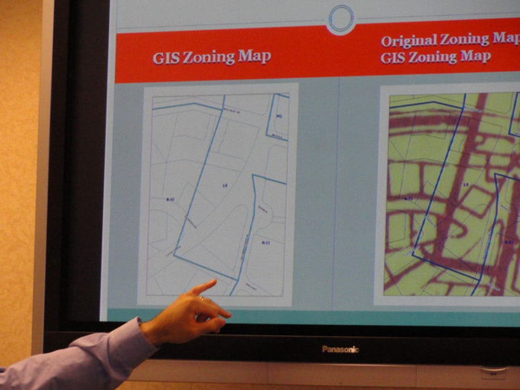
On Thursday at its year-end meeting, the town board approved a corrected and updated official zoning map for Clarkstown. In August, the board appointed a zoning map committee to resolve discrepancies in the map caused by older mapping techniques, revisions and errors.
About five years ago, the town had given the authority to make changes to the Rockland County Department of Planning’s GIS division. Once the town hired a GIS coordinator, the decision was made for the town to resume the responsibility of updating the map.
Find out what's happening in New Cityfor free with the latest updates from Patch.
The zoning map committee consisted of the building inspector, town planner and town attorney, who worked with the town GIS coordinator. The coordinator is responsible for maintaining the map in an electronic format.
Get more local news delivered straight to your inbox. Sign up for free Patch newsletters and alerts.