Weather
Hazardous Weather Outlook Issued for Lower Hudson Valley
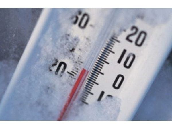
Go find that heated blanket. And maybe a snow shovel for the weekend?

The National Weather Service has issued a hazardous weather outlook for Orange, Putnam, Rockland and Westchester counties, warning of dangerous cold on its way Wednesday — ushered in by scattered flurries.
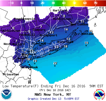
An Arctic cold front will approach this evening, and move through late tonight, accompanied and followed by scattered snow showers. Temperatures will drop to the teens and 20s late tonight after the frontal passage, and may not rise very much on Friday as strong northwest winds gusting to 40 to 45 mph usher ion the coldest air of the season thus far.
Just how cold will it be?
"The forecast high temperatures on Thursday are colder than the average LOW for this time of year, and certainly much colder than anything we’ve seen so far this season," said Bill Potter of Hudson Valley Weather.
Find out what's happening in New Cityfor free with the latest updates from Patch.
SEE ALSO: Thruway Drivers: NY Cops Warn of Lake Effect Forecast
In fact, the NWS says, record or near record low temperatures are possible Thursday night, with lows in the single digits and teens, with wind chills 0 to 10 below.
Find out what's happening in New Cityfor free with the latest updates from Patch.
There are also several chances for snow in the Hudson Valley forecast this week, but late Friday night through Saturday morning continues to look like the best bet for wintry precipitation in a weekend devoted to precipitation — mostly rain.
Images via Shutterstock, National Weather Service
MORE FROM HUDSON VALLEY PATCHES: New NY Bridge Towers Topped Off | Affordable Housing Construction Started | Reusable Bag Law Goes into Effect
Get more local news delivered straight to your inbox. Sign up for free Patch newsletters and alerts.