Weather
Power Outages, Arctic Blast: Hudson Valley Christmas Day
High winds could blow down decorations and power lines before everything freezes, the NWS warns. Here's the latest weather forecast.

Snow may have stopped falling but a Hazardous Weather Outlook still remains for much of the Hudson Valley, because Wind Advisories are in effect until 6 p.m. And then temps will drop below freezing and stay there.
West winds are expected to blow 25 to 35 mph with gusts up to 55 mph. These strong winds may blow down limbs, trees, and power lines. Decorations may also be blown down. Scattered power outages are expected. Winds this strong can also make driving difficult, especially for high profile vehicles, in open areas, and on elevated roads and bridges. Use extra caution.
Then temperatures Christmas night will fall below normal as an Arctic air mass builds into the area.
"Once temps fall below freezing Monday night we will not get above freezing for quite some time," the NWS said in a forecast discussion Sunday afternoon.
Find out what's happening in New Cityfor free with the latest updates from Patch.
Temps will drop to 20 or below Christmas night. Then it's going to get really cold. The high Dec. 27 may not get much above 5 degrees F in the mid-Hudson, or much above 20 degrees in Westchester.
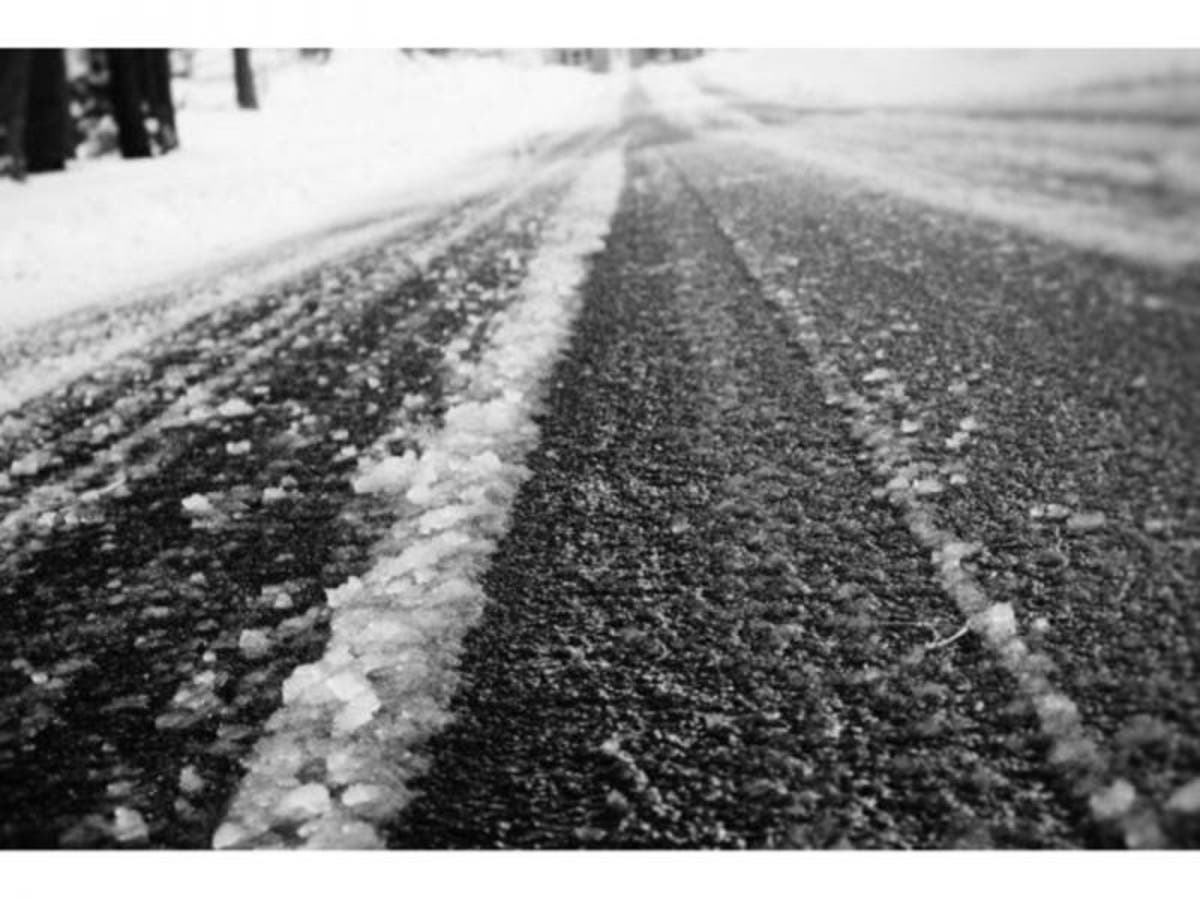
Image via Shutterstock
Find out what's happening in New Cityfor free with the latest updates from Patch.
Get more local news delivered straight to your inbox. Sign up for free Patch newsletters and alerts.