Weather
Strong Storms Forecast For Hudson Valley Sunday
Damaging winds are the main threat; large hail, an isolated tornado, and locally heavy rainfall are secondary threats.


Severe thunderstorms are forecast to return Sunday to the Hudson Valley, Atlantic coastal waters, southern Connecticut, northeast New Jersey and New York City. The National Weather Service issued hazardous weather outlooks.
For Orange, Putnam, Rockland and Westchester counties:
Strong to severe thunderstorms will be possible this afternoon into this evening.
For Dutchess and Ulster counties:
Find out what's happening in New Cityfor free with the latest updates from Patch.
There is a slight risk for severe thunderstorms today mainly between noon and 8 pm. Damaging winds are the main threat. Large hail, an isolated tornado, and locally heavy rainfall are secondary threats.
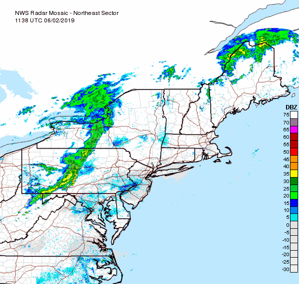
"The swath of showers and thunderstorms is forecast to extend from northern New England to the mid-Atlantic coast and parts of the southern Appalachians," said Alex Sosnowski, AccuWeather senior meteorologist. "Storms can pack a punch all the way to the Interstate-95 corridor."
Then, "things will cool off dramatically to start the work week," said Alex Marra and Bill Potter of Hudson Valley Weather.
Find out what's happening in New Cityfor free with the latest updates from Patch.
Get more local news delivered straight to your inbox. Sign up for free Patch newsletters and alerts.