Weather
LI Snow Accumulation Higher Than Expected Saturday: NWS
Some areas saw more than 5 inches, the National Weather Service says.

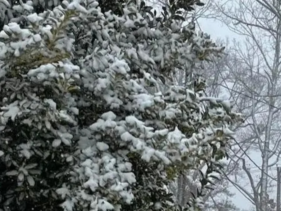
LONG ISLAND, NY — Mother Nature brought higher accumulations of snow than initially expected on Long Island and points west Friday night into Saturday, according to the National Weather Service.
Jay Engel, meteorologist with the NWS office in Upton, said parts of southwestern Nassau County, including Rockville Center and other spots in that area, saw about 5.5 inches, especially near the shoreline.
Southwestern Suffolk saw 4 to 5 inches, with about 2 to three inches on the North Shore, he added.
Find out what's happening in North Forkfor free with the latest updates from Patch.
The snow began to taper off Saturday morning, with just the East End still seeing snow at about 10 a.m., Engel said.
Brooklyn and Staten Island received the highest snow numbers, with 7 to 10 inches reported, Engel added.
Find out what's happening in North Forkfor free with the latest updates from Patch.
Temperatures on Long Island are expected to reach the upper 30s to around 40 degrees, both Saturday and Sunday, with Sunday slated to dawn dry and sunny, he said.
Get more local news delivered straight to your inbox. Sign up for free Patch newsletters and alerts.