Home & Garden
Work Week Weather: Give Us a Break
We tell you what you can expect in Piermont and Nyack through Friday.

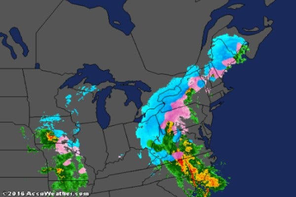
Heavy rain thankfully wraps up a stretch of wierd weather, including a temperature swing of 55 degrees.
“The storm exits late [Tuesday], and we should see the rain taper off around the evening commute,” says Bill Potter of Hudson Valley Weather. “ From that point forward, we have a few days of quiet weather. So once we get through this storm… we’ll get a well deserved break from “extreme” weather (frigid, snow, ice, heavy rain).”
Not to say that temps will stay in the mid-50s -- at least not during the work week.
Find out what's happening in Nyack-Piermontfor free with the latest updates from Patch.
For Rockland County, the work-week forecast from the National Weather Service:
- Today-Freezing rain early...then rain. Areas of fog. Rain may be heavy at times this afternoon. Ice accumulation around a trace. Not as cool with highs in the mid 50s. East winds around 5 mph... Becoming southeast 10 to 15 mph with gusts up to 25 mph this morning...then becoming south with gusts up to 25 mph this afternoon. Chance of precipitation near 100 percent.
- Tonight-Mostly cloudy. A chance of rain in the evening. Lows in the upper 20s. Northwest winds 10 to 15 mph with gusts up to 25 mph. Chance of rain 50 percent.
- Wednesday-Partly sunny. Highs around 40. West winds 5 to 10 mph.
- Wednesday Night-Mostly cloudy in the evening...then becoming partly cloudy. Lows in the mid 20s. Northwest winds 5 to 10 mph.
- Thursday-Sunny. Highs in the mid 30s. North winds 10 to 15 mph.
- Thursday Night-Mostly clear. Lows around 20.
- Friday-Mostly sunny in the morning...then becoming mostly cloudy. Highs in the upper 30s.
- Friday Night-Mostly cloudy with a chance of rain and snow. Lows in the lower 30s. Chance of precipitation 50 percent.
Find out what's happening in Nyack-Piermontfor free with the latest updates from Patch.
Get more local news delivered straight to your inbox. Sign up for free Patch newsletters and alerts.

