Weather
Hazardous Outlooks Issued In The Hudson Valley: NWS
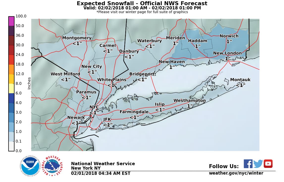
One for Sunday covers much of the region. Snowfall estimates have changed on one for Friday. Here are the details on both.

The National Weather Service has issued a Hazardous Weather Outlook for Dutchess and Ulster counties, saying that isolated snow squalls are possible overnight Thursday-Friday. The NWS has also issued an early warning about a snowstorm that's expected to disrupt much of the HV on Monday morning.
According to the second Hazardous Weather Outlook:
There is a low chance for at least 6 inches of snow to fall from Sunday into Monday morning across interior portions of the Tri-State area. More likely is for less than 6 inches of snow to fall, as the precipitation is expected to mix with rain for at least parts of this area. There is also uncertainties [sic] on the exact timing and amount of precipitation expected during this time frame. Stay alert for further updates.
Sounds like a repeat of what's expected in the next 24 hours. Those those snow squalls are coming to the region as part of a cold front plus rain. However, little accumulation is expected Friday — in fact, snowfall estimates have dropped.
Find out what's happening in Ossining-Croton-On-Hudsonfor free with the latest updates from Patch.
Get more local news delivered straight to your inbox. Sign up for free Patch newsletters and alerts.