Weather
UPDATE: Jose Nears The Hudson Valley
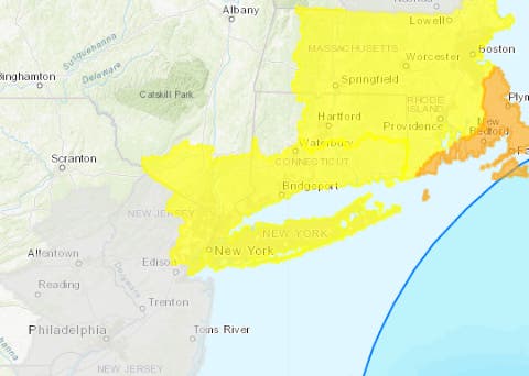
The National Weather Service issued a two-pronged Coastal Flood Advisory and Hazardous Weather Outlook for Southern Westchester.

UPDATE: The National Weather Service ended the Tropical Storm Watch Monday evening for Southern Westchester. The NWS also ended a Hazardous Weather Outlook for Orange, Putnam, Rockland and northern Westchester counties. However, the NWS issued a Coastal Flood Advisory and Hazardous Weather Outlook for Southern Westchester.
The Coastal Flood Advisory in affect from from 9 a.m. to noon Tuesday, and then again from 6 p.m. Tuesday to 2 p.m. Wednesday.
- Hurricane Local Statement
- Coastal Flood Advisory in effect from September 19, 09:00 AM EDT until September 19, 12:00 PM EDT
- Coastal Flood Advisory in effect from September 19, 06:00 PM EDT until September 20, 02:00 PM EDT
- Hazardous Weather Outlook
The heaviest rain is expected Tuesday night into Wednesday.
Find out what's happening in Ossining-Croton-On-Hudsonfor free with the latest updates from Patch.
"Our weather locally will be impacted by Jose beginning on Tuesday," said Bill Potter of Hudson Valley Weather.
Monday night Hurricane Jose continued to be a modest category 1 hurricane but meteorologists predicted it would weaken to a Tropical Storm Tuesday into Wednesday.
Find out what's happening in Ossining-Croton-On-Hudsonfor free with the latest updates from Patch.
Still, Jose’s anticipated track was expected bring the most significant impacts along and just east of the Northeast Interstate 95 corridor.
“A hurricane does not need to make landfall to cause significant adverse effects in the Northeast, since the shape of the coast tends to enhance storm effects and trap ocean water,” AccuWeather Senior Meteorologist Alex Sosnowski said. "The slow-moving and lingering nature of Jose will lead to prolonged impact on beach communities and offshore interests."
ALSO SEE: Hurricanes Jose, Maria Could Go High-Low On Eastern Seaboard
IMAGES: National Hurricane Center and AccuWeather.com
Get more local news delivered straight to your inbox. Sign up for free Patch newsletters and alerts.