Weather
Hudson Valley Weather: Snow Possible This Weekend
There's a hazardous outlook for Dutchess and Ulster counties; the Monday commute could be slushy or more. Here's the latest.

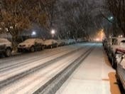
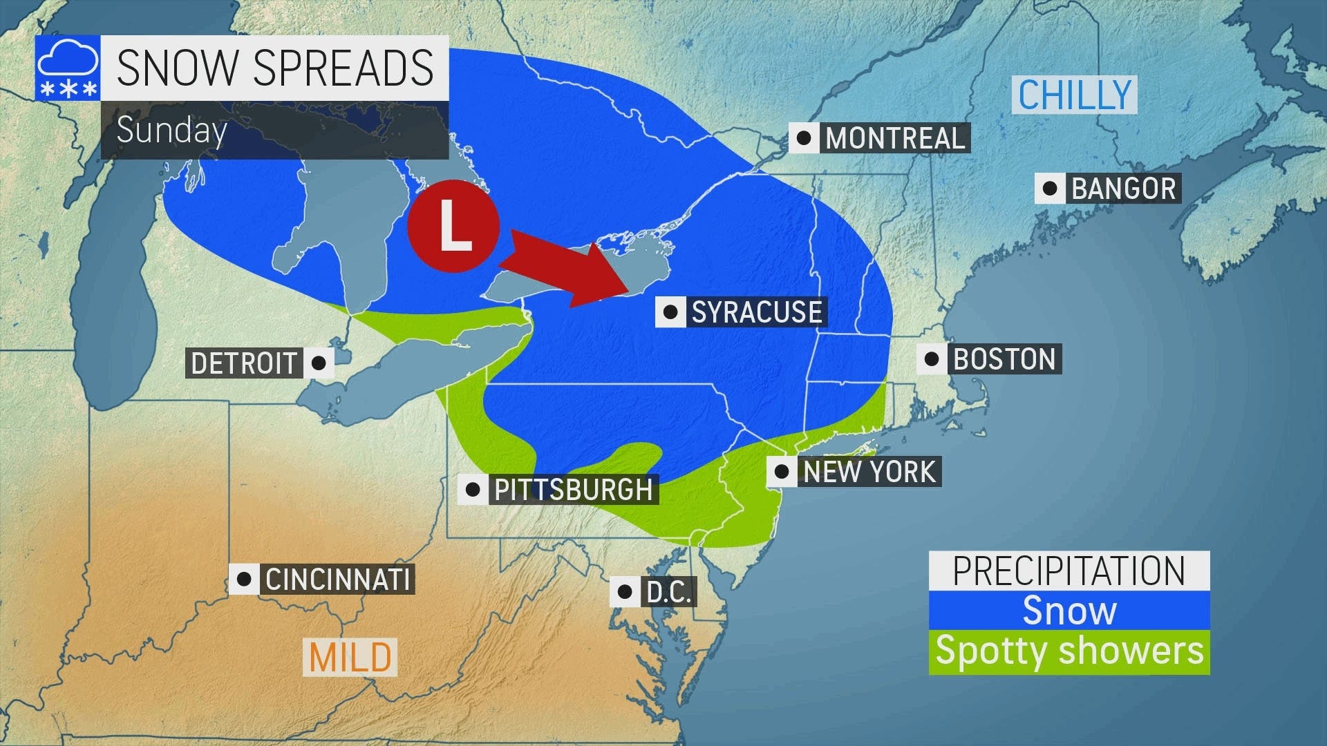
HUDSON VALLEY, NY — Forecasters are increasingly confident that most of the region will see more than snow flurries Sunday into Monday, and the National Weather Service has issued a hazardous outlook for Dutchess and Ulster counties.
In fact, Hudson Valley Weather is tentatively predicting that the northern valley could see 2-5 inches of snow, specially in higher terrain. Lower elevations and the southern end of the valley could get anything from a dusting to a couple of inches.
"I believe that this event occurring a few hours before sunset, after a few cold mornings, and a lot of accumulations occurring overnight will lead to good “stickage"," said Alex Marra of Hudson Valley Weather. But it's still early, he warned, and many factors could change the outcome.
Find out what's happening in Pearl Riverfor free with the latest updates from Patch.
We'll go into the weekend with seasonal temperatures. Then the storm will bring snow and rain.
The National Weather Service predicts little or no accumulation in southern Westchester Sunday or Monday.
Find out what's happening in Pearl Riverfor free with the latest updates from Patch.
For Dutchess and Ulster counties, the NWS says the low pressure system will bring widespread accumulating snowfall to the area Sunday through Sunday night. Winter Weather Advisories may be needed for some areas.
In Orange, Putnam, Rockland and northern Westchester, the NWS put the chance of snow Sunday night at 70 percent.
"Motorists heading to the major cities from the northern and western suburbs of New York City and Philadelphia, as well as the western suburbs of Boston, should be prepared for delays and allow themselves extra time to get to work on Monday," said Alex Sosnowski, AccuWeather senior meteorologist. "As the storm moves out to sea, conditions should steadily improve during the midday and afternoon hours on Monday. Any accumulation of snow and slush in the I-95 zone should melt."
The day-by-day weekend forecast from the National Weather Service for northern Westchester:
- Friday - Sunny. Highs in the lower 40s. North winds around 10 mph with gusts up to 20 mph.
- Friday night - Clear. Lows in the mid 20s. North winds 5 to 10 mph.
- Saturday - Sunny. Highs around 40. Northeast winds 5 to 10 mph.
- Saturday Night - Partly cloudy in the evening, then becoming mostly cloudy. Lows in the upper 20s. Northeast winds around 5 mph.
- Sunday - Cloudy. A slight chance of rain and snow in the morning, then rain and snow likely in the afternoon. Little or no snow accumulation. Highs in the upper 30s. East winds 5 to 10 mph. Chance of precipitation 60 percent.
- Sunday Night - Snow and rain likely in the evening, then a chance of snow after midnight. Light snow accumulation possible. Lows in the upper 20s. Chance of precipitation 70 percent.
- Monday - Mostly cloudy in the morning, then becoming mostly sunny. Highs in the upper 30s.
Get more local news delivered straight to your inbox. Sign up for free Patch newsletters and alerts.