Weather
Hudson Valley Snow Totals [UPDATED] 2/9/17
See which towns were hit the hardest in Thursday's snowstorm.

The National Weather Service has reported snowfall totals for many local towns.
Look below to see how much snow accumulated in local communities as of Thursday night.
More snow is expected this weekend. To make sure you know as soon as possible, sign up for breaking news alerts from Patch by clicking here. Or, if you're on an iPhone, click here to download the new Patch app and get notifications sent straight to your phone.
Find out what's happening in Peekskill-Cortlandtfor free with the latest updates from Patch.
Dutchess
PAWLING 14.0 556 PM
POUGHKEEPSIE 12.0 321 PM
LA GRANGE 12.0 435 PM
3 NE LAGRANGEVILLE 11.0 452 PM
1 NNW FAIRVIEW 11.0 400 PM
PINE PLAINS 10.5 353 PM
SPACKENKILL 10.0 1104 PM
HYDE PARK 9.5 547 PM
RED HOOK 9.0 549 PM
RHINEBECK 9.0 235 PM
Orange
NEW WINDSOR 13.2 500 PM
VAILS GATE 13.0 315 PM
CORNWALL ON HUDSON 12.8 345 PM
GOSHEN 12.3 347 PM
FORT MONTGOMERY 12.0 430 PM
MONROE 11.5 533 PM
MIDDLETOWN 11.0 531 PM
Find out what's happening in Peekskill-Cortlandtfor free with the latest updates from Patch.
Putnam
MAHOPAC 12.5 355 PM
LAKE PEEKSKILL 11.6 400 PM
Rockland
STONY POINT 8.8 545 PM
CONGERS 8.5 418 PM
Ulster
COTTEKILL 12.7 530 PM
KINGSTON 11.0 455 AM
PLATTEKILL 11.0 422 PM
PHOENICIA 10.0 529 PM
ESOPUS 9.0 438 PM
SAUGERTIES 8.0 502 PM
WEST SHOKAN 6.0 533 AM
Westchester
DOBBS FERRY 12.8 400 PM
ARMONK 12.0 515 PM
WHITE PLAINS 11.8 515 PM
SOMERS 11.0 530 PM
JEFFERSON VALLEY 11.0 545 PM
OSSINING 11.0 515 PM
IRVINGTON 10.3 600 PM
HASTINGS-ON-HUDSON 10.0 600 PM
MOUNT VERNON 9.5 445 PM
MOUNT KISCO 9.3 400 PM
PEEKSKILL 9.3 358 PM
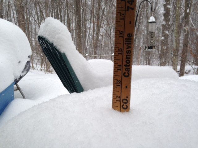
PHOTO CREDIT: Lanning Taliaferro/Patch
Get more local news delivered straight to your inbox. Sign up for free Patch newsletters and alerts.