Weather
Latest LI Snow Totals; Thundersnow; More Than 4,000 Power Outages
BLIZZARD UPDATE: Roads are impassable across the island this afternoon. When will the snow end? Check out the latest forecast.

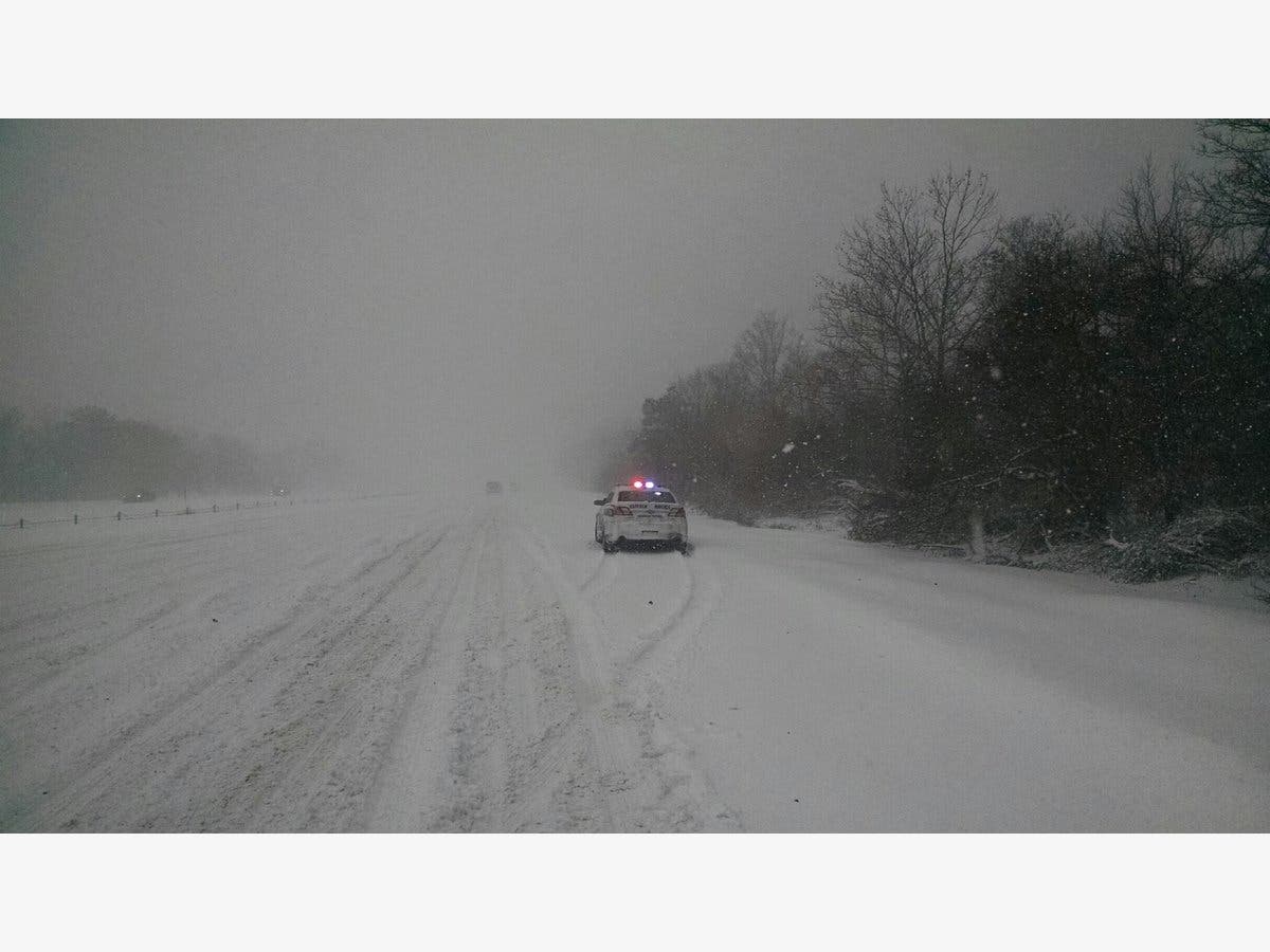
More than a foot of snow has already fallen on parts of Long Island Thursday and the blizzard is not over yet. As of 4 p.m., snowfall rates of 1-2 inches per hour are still being reported in the area.
A blizzard warning remains in effect until 1 a.m. Friday. The heaviest snow, though, should end Thursday evening before the snow tapers off from west to east. The entire island is now expected to end up with 12-18 inches of accumulation.
Many roads across the island are impassable and there have been numerous reports of stranded motorists needing to be rescued.
Find out what's happening in Sachemfor free with the latest updates from Patch.
"This is not a normal storm," Gov. Andrew Cuomo said while declaring a state of emergency for the island Thursday morning. "If you do not have to be on the roads, don't be."
4:13pm: Latest radar imagery shows the back edge of the snow in NE NJ. We expect this to continue translating east through the evening. Gusty winds and blowing snow will continue through the night. pic.twitter.com/AOv39of8Ls
— NWS New York NY (@NWSNewYorkNY) January 4, 2018
As of 4:13 p.m., PSEG Long Island says 4,466 of its customers are without power.
Find out what's happening in Sachemfor free with the latest updates from Patch.
"Crews continue to work as quickly and safely as possible," the company said on its Facebook page. "Outages are located throughout the service territory but there is a larger concentration in Suffolk." See the PSEG outage map here.
"As snow begins to taper off west to east this evening, there is a brief 2-3 hour window of potential for frequent [wind] gusts over 50 mph....as such, potential for power outages and downed trees will continue even after the snow ends," the NWS says.
There have been reports of thundersnow on Long Island and there's the potential for more through the afternoon.
As the island digs out on Friday, we will be dealing will dangerously cold temperatures. Wind chill temperatures Friday night will drop to as low as 15 degrees below zero.
Thunder snow! Video from Elizabeth Ann. @weatherchannel @WeatherGeoff @hoffmanrich @longislandpatch @joecioffi @Newsday @News12LI #islandwideweather pic.twitter.com/Sgg0S6rKeR
— Islandwide Weather (@IslandwideW) January 4, 2018
The @NOAA #GOES16 Geostationary Lightning Mapper continues to detect #lightning flashes in heavy snow on Long Island and Southeast CT. Here are two lightning flashes at 1354 UTC. #blizzard pic.twitter.com/6C3YTG3FXK
— NASA SPoRT (@NASA_SPoRT) January 4, 2018
A friend of mine from Long Island sent this to me telling me that it occurred when a 74 mph wind gust was recorded on his anemometer. pic.twitter.com/Llol6FhDxa
— Mark Sudduth (@hurricanetrack) January 4, 2018
The full forecast:
Thursday Afternoon — Snow. The snow could be heavy at times. Areas of blowing snow. High near 29. Wind chill values between 10 and 15. Windy, with a northwest wind around 34 mph, with gusts as high as 50 mph. Chance of precipitation is 90%. Total daytime snow accumulation of 6 to 10 inches possible.
Thursday Night — A 40 percent chance of snow before 9 p.m. Areas of blowing snow. Cloudy, then gradually becoming partly cloudy, with a low around 9. Wind chill values between -10 and zero. Windy, with a west wind 21 to 26 mph and gusts as high as 39 mph.
Friday — Areas of blowing snow. Mostly sunny and cold, with a high near 14. Wind chill values between -5 and -10. Windy, with a west wind 20 to 29 mph and gusts as high as 46 mph.
Friday Night — Patchy blowing snow. Partly cloudy, with a low around 4. Wind chill values between -5 and -15. Breezy, with a west wind 18 to 23 mph and gusts as high as 38 mph.
Saturday — Sunny and cold, with a high near 13. Breezy, with a west wind 21 to 23 mph.
Main Photo via Suffolk Police
Get more local news delivered straight to your inbox. Sign up for free Patch newsletters and alerts.