Weather
Long Island Snow Totals
The snow is expected to end by early Sunday. Check out the snow totals reported so far and post your photos below.

Well, maybe you didn't need that shovel.
A storm system that dropped 10 inches of snow on parts of Georgia and even a couple inches on the Florida Panhandle has not lived up to the hype on Long Island.
A winter storm warning that had been due to expire at 6 a.m. Sunday in Suffolk County was canceled Saturday evening by the National Weather Service. Most of the island is now expected to wind up with 2-4 inches of accumulation by the time the snow ends early Sunday.
Find out what's happening in Sachemfor free with the latest updates from Patch.
Winter weather advisories do remain in effect in Suffolk until 6 a.m. and in Nassau until 4 a.m. Black ice is also a concern as temperatures fall below freezing overnight.

Here are the unofficial Long Island snow totals reported so far by the National Weather Service:
Find out what's happening in Sachemfor free with the latest updates from Patch.
Nassau
- Plainview- 3 inches, 8:45 p.m.
- Carle Place- 2.8 inches, 8 p.m.
- North Merrick- 2.8 inches, 8:30 p.m.
- New Hyde Park- 2.2 inches, 8 p.m.
- Wantagh- 2.2 inches, 7 p.m.
Suffolk
- Centerport- 4.8 inches, 10:15 p.m.
- Commack- 4 inches, 9:30 p.m.
- Terryville- 3.4 inches, 9:20 p.m.
- Babylon- 2.9 inches, 9:35 p.m.
- Port Jefferson Station- 2.3 inches, 7 p.m.
- MacArthur Airport- 1.2 inches, 7 p.m.
Quiet beauty on Long Island’s north shore... Winter in autumn! #liweather #lisnow pic.twitter.com/VTd18bcbug
— Bruce Avery (@BruceAveryWRHU) December 9, 2017
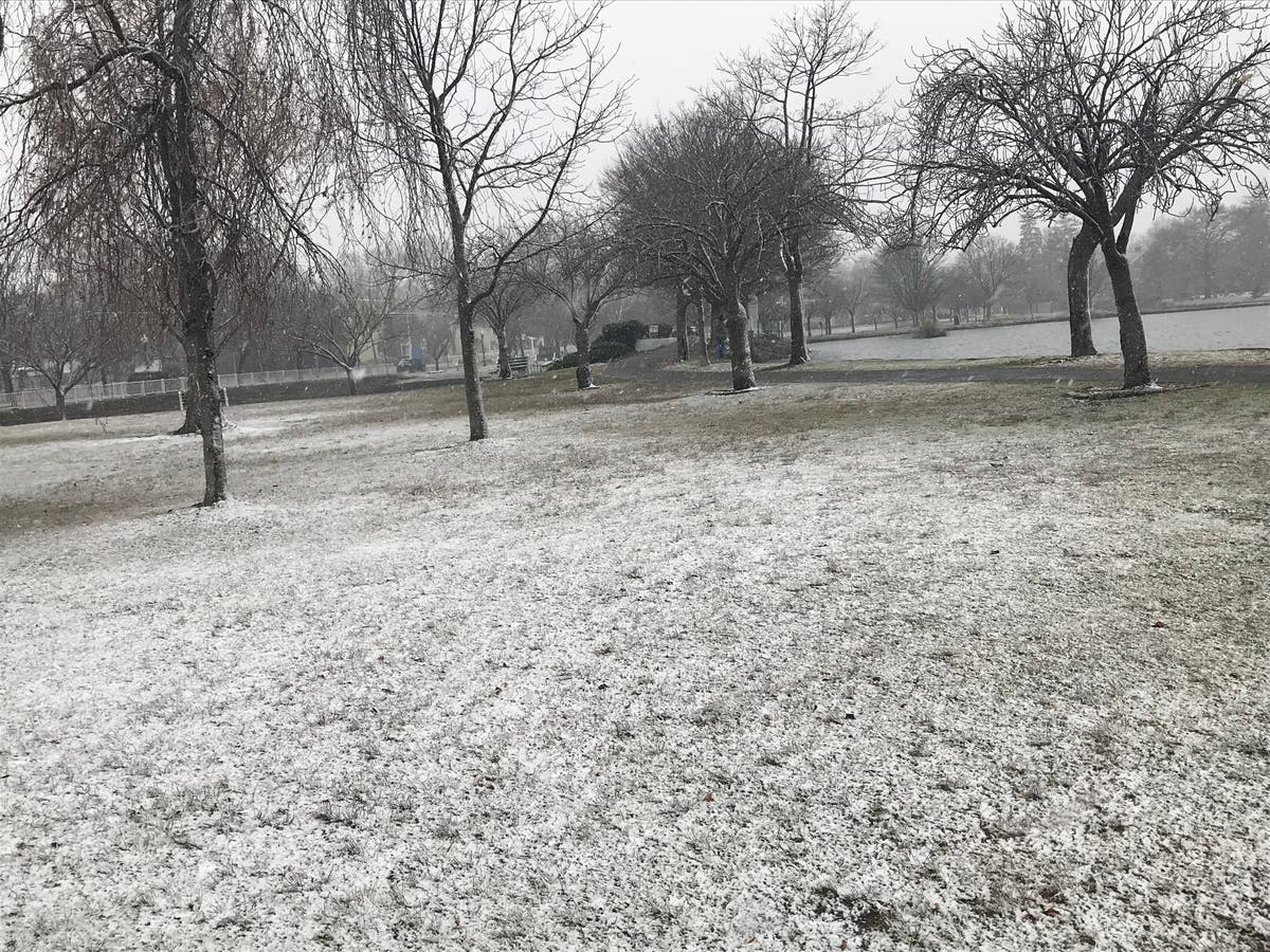
Main Photo by Ryan Bonner- A snowy scene at Argyle Lake in Babylon Saturday morning.
Get more local news delivered straight to your inbox. Sign up for free Patch newsletters and alerts.