Community Corner
4-Alert Sunday in Southeast: National Weather Service
The snow is pretty much over—now it's all about wind and wind chill.

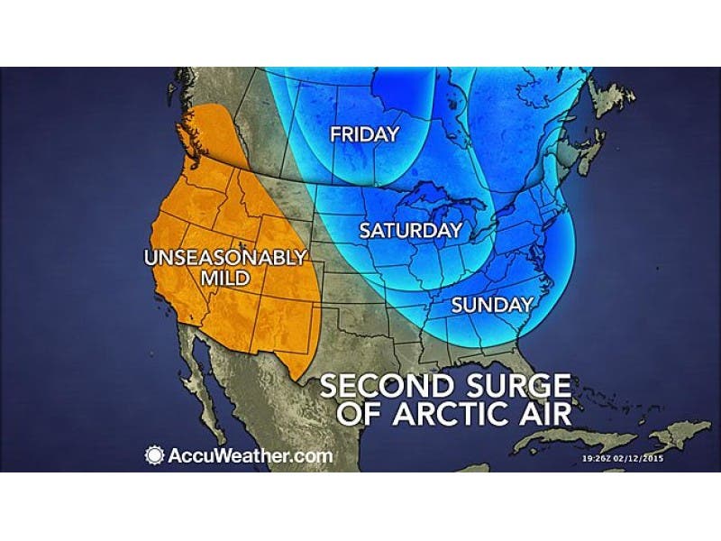
The National Weather Service has four advisories out for Putnam County.
- Winter Weather Advisory is in effect until February 15, 01:00 PM EST
- Wind Advisory is in effect until February 15, 06:00 PM EST
- Wind Chill Warning in effect from February 15, 06:00 PM EST until February 16, 09:00 AM EST
- Hazardous Weather Outlook is in effect
“We’re talking about some very ugly cold on Sunday,” says Hudson Valley Weather. “ Please be sure to dress appropriately… dress in layers, don’t leave skin exposed for extended periods of time. Frostbite becomes a concern in these conditions… and it doesn’t get any better Sunday night.”
Here’s the local forecast for Brewster:
Find out what's happening in Southeast-Brewsterfor free with the latest updates from Patch.
- Today-A chance of snow, mainly before noon. Partly sunny and cold, with a high near 14. Wind chill values between -5 and zero. Windy, with a northwest wind 24 to 30 mph, with gusts as high as 50 mph. Chance of precipitation is 50%.
- Tonight-Partly cloudy, with a low around -7. Wind chill values between -15 and -25. Blustery, with a northwest wind 14 to 22 mph, with gusts as high as 33 mph.
- Washington’s Birthday-Mostly sunny and cold, with a high near 15. Wind chill values between -15 and -25. Northwest wind 9 to 13 mph.
- Monday Night-A slight chance of snow after 3am. Mostly cloudy, with a low around -2. Wind chill values between -5 and -10. Northwest wind around 6 mph becoming calm after midnight. Chance of precipitation is 20%.
- Tuesday-Snow likely, mainly before noon. Cloudy and cold, with a high near 20. North wind 3 to 6 mph. Chance of precipitation is 60%. New snow accumulation of 1 to 2 inches possible.
- Tuesday Night-A slight chance of snow. Mostly cloudy, with a low around 7. Chance of precipitation is 20%.
Get more local news delivered straight to your inbox. Sign up for free Patch newsletters and alerts.