Community Corner
Freezing Rain, Snow Could Cause 'Significant Travel Problems'
Putnam County is under a Winter Storm Watch.

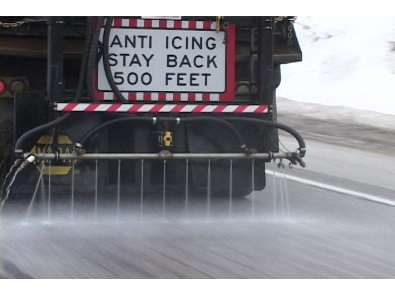
Putnam County is back under a winter storm watch, with snow and freezing rain set to affect the Monday commutes, according to the National Weather Service.
“A mix of light snow and freezing rain will begin Sunday afternoon...but then becomes steadier late Sunday night into Monday,” the NWS said in the watch. ”The precipitation will become mainly snow Sunday night.”
Significant snow and ice accumulations and reduced visibilities will make travel hazardous.
Find out what's happening in Southeast-Brewsterfor free with the latest updates from Patch.
- Tonight--A slight chance of light snow. Cloudy, with a low around 27. Calm wind. Chance of precipitation is 20%.
- Sunday--Snow and freezing rain likely, mainly after 3pm. Cloudy, with a high near 29. Wind chill values between 20 and 25. East wind 3 to 8 mph. Chance of precipitation is 60%. New ice accumulation of less than a 0.1 of an inch possible. New snow accumulation of less than a half inch possible.
- Sunday Night--Snow, freezing rain, and sleet likely before 9pm, then snow. Low around 22. Wind chill values between 15 and 20. Northeast wind 7 to 9 mph. Chance of precipitation is 90%. Little or no ice accumulation expected. New snow and sleet accumulation of 1 to 3 inches possible.
- Monday--Snow. High near 28. Wind chill values between 15 and 20. Northeast wind 10 to 13 mph. Chance of precipitation is 100%. New snow accumulation of 2 to 4 inches possible.
- Monday Night--Snow likely, mainly before 9pm. Mostly cloudy, with a low around 21. North wind 11 to 14 mph. Chance of precipitation is 70%. New snow accumulation of 1 to 3 inches possible.
Get more local news delivered straight to your inbox. Sign up for free Patch newsletters and alerts.