Weather
Hudson Valley Weather Forecast: Piling On
A dusting to two inches overnight Friday; but wait, there's more!

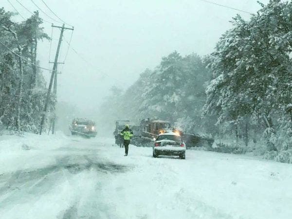
HUDSON VALLEY, NY — A day after 10 inches or more of snow fell across the lower Hudson Valley, of course we woke up to temps in the single digits this morning. Two days ago temps were in the 60s in some parts of the region.
Welcome to winter. There's more to come.
Snow showers could start in the late afternoon, here and there throughout the region, bringing us from a dusting to a couple of inches.
Find out what's happening in Southeast-Brewsterfor free with the latest updates from Patch.
"The best chance for this appears to be north of I-84… but the entire Hudson Valley could see some light snow showers," said Bill Potter of Hudson Valley Weather. "The risk appears to be highest as we approach midnight, but could occur any time after sunset."
But wait, there's more!
Find out what's happening in Southeast-Brewsterfor free with the latest updates from Patch.
A storm system is developing now that will hit our area on Sunday. Potter said the models range from a mix of snow and rain to just snow. Accumulation could reach several inches.
But, as he would remind us, it's more than 36 hours out.
Still, the National Weather Service has issued a Hazardous Weather Outlook for the Mid-Hudson Valley.
To make sure you know about the Sunday storm as soon as possible, sign up for breaking news alerts from Patch by clicking here. Or, if you're on an iPhone, click here to download the new Patch app and get notifications sent straight to your phone.
Get more local news delivered straight to your inbox. Sign up for free Patch newsletters and alerts.


