Weather
Severe Cold in the Forecast for Southeast
Don't get used to 40-degree temps: the work week weather story around Brewster.

BREWSTER, NY — The snowflakes have come to an end for most of the Hudson Valley as temps rise above the freezing mark and rain ends by early Monday afternoon.
The rest of the weather week looks calm on the precipitation front except for a chance of some more snow on Friday night and Saturday, and that too could mix with some rain.
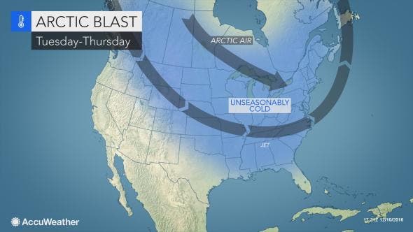
The big story will be the blast of arctic air moving through the Hudson Valley toward the end of the work week that will keep high temperatures in the low 20s — feeling even chillier with the wind.
Find out what's happening in Southeast-Brewsterfor free with the latest updates from Patch.
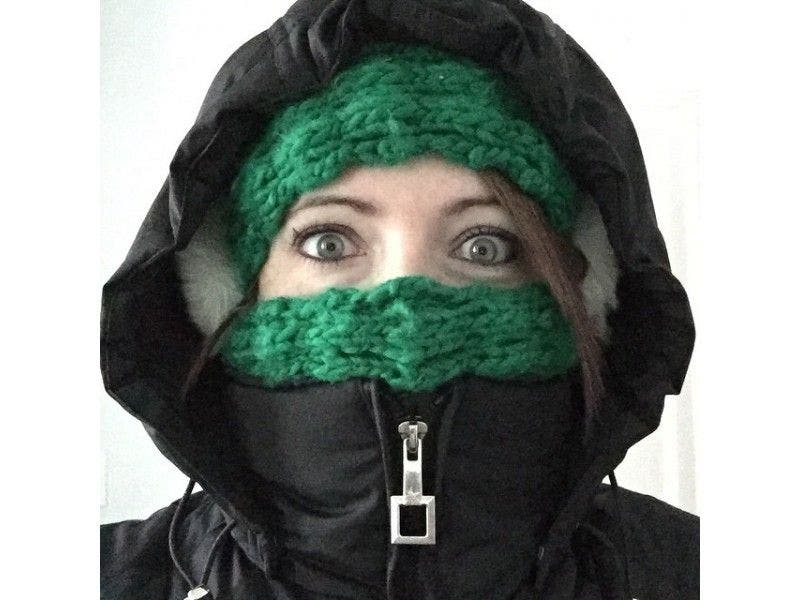
"The cold will be severe enough to bring the risk of frostbite or hypothermia to those spending time outdoors without proper clothing," said Renee Duff, AccuWeather meteorologist. "Residents should ensure pets have proper shelter and limit their furry friend’s exposure outdoors. Vehicles may need to be inspected for problems that can arise during extreme cold and residents should ensure that an emergency preparedness kit is handy in case of a break down on the highway."
Temps could hit zero Thursday night.
Find out what's happening in Southeast-Brewsterfor free with the latest updates from Patch.
Here's the five-day National Weather Service forecast for Putnam County:
Today
Becoming partly sunny this afternoon. Rain early this morning. Highs in the mid 40s. Southwest winds around 10 mph. Chance of rain near 100 percent.
Tonight
Mostly clear. Lows in the mid 20s. West winds 5 to 10 mph.
Tuesday
Mostly sunny. Highs in the upper 30s. West winds around 5 mph.
Tuesday Night
Mostly cloudy. A chance of snow showers in the evening. Lows in the mid 20s. West winds around 5 mph. Chance of snow 40 percent.
Wednesday
Mostly sunny. Highs in the upper 30s. West winds 5 to 10 mph.
Wednesday Night
Mostly cloudy in the evening...then becoming partly cloudy. Lows 15 to 20.
Thursday
Partly sunny with a 30 percent chance of snow showers. Colder with highs in the lower 20s.
Thursday Night
Mostly cloudy in the evening...then becoming partly cloudy. A 30 percent chance of snow showers. Cold with lows zero to 5 above zero. Wind chill values as low as 15 below.
Friday
Mostly sunny. Cold with highs around 20. Wind chill values as low as 15 below in the morning.
Friday Night
Partly cloudy in the evening...then mostly cloudy with a chance of snow after midnight. Cold with lows around 10 above. Chance of snow 30 percent.
Map: AccuWeather.com
Get more local news delivered straight to your inbox. Sign up for free Patch newsletters and alerts.


