Weather
Showers, Thunderstorms in Forecast for Most of Sunday
Rain is predicted for Sunday and Monday. breaking

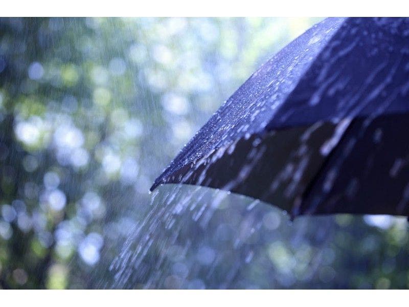
Hope you enjoyed the weather Saturday because Sunday is completely different.
While only one part of the region—Dutchess and Ulster counties—is under a National Weather Service-issued Hazardous Weather Outlook, there are showers and thunderstorms in the forecast for all of the lower- and mid-Hudson Valley.
For Ulster and Dutchess, the NWS said there is a chance for thunderstorms in advance of a cold front, but the thunderstorms are not expected to be severe.
Find out what's happening in Tarrytown-Sleepy Hollowfor free with the latest updates from Patch.
There is, however, the possibility of gusty winds and locally heavy rainfall as the storms move from southwest to northeast at 30 mph.
Otherwise, the forecast for Westchester, Putnam, Orange and Rockland counties calls for scattered showers and thunderstorms after 11 a.m. Sunday.
Find out what's happening in Tarrytown-Sleepy Hollowfor free with the latest updates from Patch.
The highs will be in the low 80s.
For Sunday night, again there is a chance of showers and thunderstorms through the evening and after midnight.
According to the NWS, some of the storms could produce heavy rainfall.
The low Sunday night will be in the mid- to upper-60s.
And it’s possible you will need your umbrella or rain gear as you head out for work or school Monday morning because the forecast said there will be forecast and possibly a thunderstorm, with the amount of rain predicted to be heavier than Sunday.
Image via Shutterstock.
Get more local news delivered straight to your inbox. Sign up for free Patch newsletters and alerts.