Weather
Snow to Reach Hudson Valley Sunday Afternoon
Areas north of Interstate 84 will see more snow, while areas south of that will likely see a mix of precipitation.

As we go through the coldest day so far this late fall, meteorologists are still looking at a snow event Sunday.
How much will fall and how long it will last hasn’t necessarily been pinned down, but the consensus is that frozen precipitation will be overspreading the mid- to lower-Hudson Valley starting sometime Sunday afternoon.
The National Weather Service has issued a Winter Weather Advisory Saturday afternoon for Ulster County in effect from 4 p.m. Sunday until noon Monday. There was also a Hazardous Weather Outlook for Orange County for Sunday afternoon into Monday morning.
Find out what's happening in Tarrytown-Sleepy Hollowfor free with the latest updates from Patch.
Bill Potter of Hudson Valley Weather said his forecast is saying that the cold air that is in place will mean that areas north of I-84 will remain mostly snow, while areas south of I-84 will see some mix of snow, freezing rain and rain.
He is calling for “a general 3-6 inch snowfall north of 84, maybe some smaller amounts along the river from Kingston south, and locally higher amounts in hill towns and higher terrain away from the valley.”
Find out what's happening in Tarrytown-Sleepy Hollowfor free with the latest updates from Patch.
A safe bet for locations south of I-84, Potter said, is 1-4 inches, with the least amounts across the southern-most areas.
In any event, Hudson Valley Weather is saying that the threat as it stands now is more Sunday/Sunday night, not Sunday night into Monday.
Check back with Patch for updates.
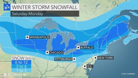
Map: AccuWeather.com
Get more local news delivered straight to your inbox. Sign up for free Patch newsletters and alerts.