That gorgeous fall weather Long Island is experiencing Wednesday is going to take a chilly dip come Wednesday night.
A cold front is set to move across the region that will bring with it temperatures that may fall well into the 30s Wednesday night, according to the National Weather Service.
“A dramatic swing in temperatures will then occur for the remainder of the work week,” the NWS said.
Find out what's happening in Wantagh-Seafordfor free with the latest updates from Patch.
Long Island will see a high of near 50 degrees on Thursday, with the wind chill making it feel between 35 and 45 early in the day, according to the NWS forecast. There’s a chance of rain after 8 p.m. Thursday, which may mix with snow after 2 a.m. Friday. The low Thursday night is predicted to be a frosty 35 degrees.
On Friday the skies should be mostly sunny, but the high temperature will only reach the mid-40s, according to the NWS. There’s also a slight chance of snow before 10 a.m. Friday. No accumulation is expected.
Find out what's happening in Wantagh-Seafordfor free with the latest updates from Patch.
On the bright side: we don’t live in the Midwest, which got slammed in some areas with more than two feet of snow on Tuesday.
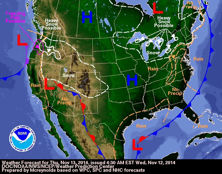
Photo: National Weather Service
Get more local news delivered straight to your inbox. Sign up for free Patch newsletters and alerts.