Weather
Week Ahead Weather: Rain, Followed By More Rain
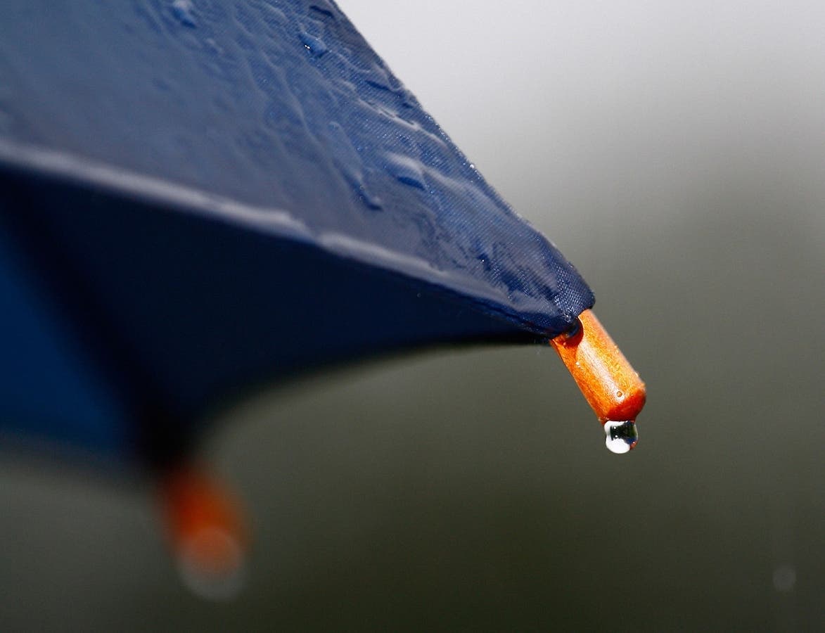
It's going to be a soggy week in the Charlotte metro area. Here's what you need to know.

CHARLOTTE, NC -- it’s shaping up to be a rainy week in the Charlotte metro region, with chances of precipitation -- from showers to gully washers -- every day this week through Sunday.
There is some good news, however. The rainy conditions will mean highs for most days will be in the low 80s.
The National Weather Service issued a hazardous weather outlook advisory for the region Monday morning, saying that numerous showers and thunderstorms were expected to move through the area into the evening. “The potential exists for these storms to produce torrential rainfall. Some areas may experience multiple rounds of such storms, resulting in locally significant accumulation and possibly flash flooding,” NWS said.
Find out what's happening in Charlottefor free with the latest updates from Patch.
Heavy rain will also be possible on Aug. 8, according to NWS, which says numerous showers and thunderstorms are expected again. (Sign up for our free daily newsletters and Breaking News Alerts for the Charlotte Patch. iPhone users can download the Patch app in the App Store. Plus, like Charlotte Patch on Facebook.)
Here is your forecast for the week of Aug. 7:
Find out what's happening in Charlottefor free with the latest updates from Patch.
Today (Aug. 7)
Showers and thunderstorms likely before 1pm, then scattered showers between 1pm and 2pm, then scattered showers and thunderstorms after 2pm. Cloudy, with a high near 85. Southwest wind 7 to 13 mph, with gusts as high as 24 mph. Chance of precipitation is 70%. New rainfall amounts between a tenth and quarter of an inch, except higher amounts possible in thunderstorms.
Tonight
Scattered showers and thunderstorms before 2am, then scattered showers between 2am and 5am, then scattered showers and thunderstorms after 5am. Cloudy, with a low around 72. Southwest wind around 9 mph. Chance of precipitation is 50%. New rainfall amounts between a tenth and quarter of an inch, except higher amounts possible in thunderstorms.
Tuesday (Aug. 8)
A chance of showers and thunderstorms, then showers likely and possibly a thunderstorm after 1pm. Cloudy, with a high near 81. West wind around 5 mph becoming north in the morning. Chance of precipitation is 60%. New rainfall amounts between a quarter and half of an inch possible.
Tuesday Night
A chance of showers and thunderstorms. Mostly cloudy, with a low around 69. Light east wind. Chance of precipitation is 40%. New precipitation amounts of less than a tenth of an inch, except higher amounts possible in thunderstorms.
Wednesday (Aug. 9)
A 20 percent chance of showers. Mostly cloudy, with a high near 81. Northeast wind around 9 mph.
Wednesday Night
A 20 percent chance of showers. Mostly cloudy, with a low around 69.
Thursday (Aug. 10)
A 40 percent chance of showers after 10am. Mostly cloudy, with a high near 82.
Thursday Night
A 50 percent chance of showers. Mostly cloudy, with a low around 70.
Friday (Aug. 11)
A chance of showers, with thunderstorms also possible after 9am. Mostly cloudy, with a high near 84. Chance of precipitation is 50%.
Friday Night
A 50 percent chance of showers and thunderstorms. Mostly cloudy, with a low around 70.
Saturday (Aug. 12)
A 40 percent chance of showers and thunderstorms. Partly sunny, with a high near 86.
Saturday Night
A 40 percent chance of showers and thunderstorms. Mostly cloudy, with a low around 71.
Sunday (Aug. 13)
A 40 percent chance of showers and thunderstorms. Mostly cloudy, with a high near 86.
Photo via Pixabay
Get more local news delivered straight to your inbox. Sign up for free Patch newsletters and alerts.