Weather
First Snow Of Season Hits Northeast Ohio
There wasn't much to Thursday night's snow, but it could serve as a harbinger of things to come.


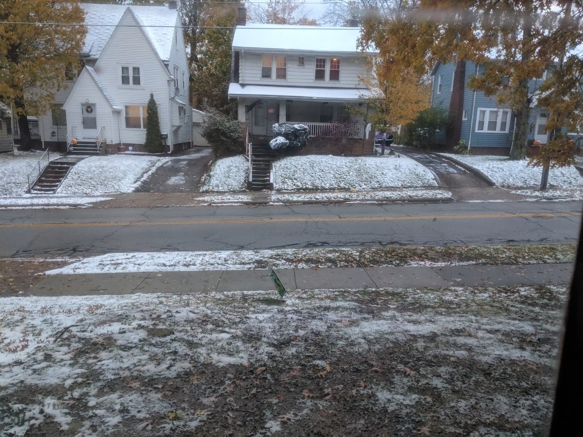
CLEVELAND — Northeast Ohioans awoke November 1 to a new trick (and no treat) — snow. A fluffy white dusting greeted Buckeye State residents on Friday morning, covering roofs and windshields and serving as a harbinger of things to come.
Current forecasts show a possibility of snow on Friday night, Saturday and Sunday morning, before temperatures climb steadily into the upper 40s. Snow could make its return to the region next week, mostly falling overnight before temperatures hit melting points.
The weekend will be marked by daytime highs in the mid- to upper-40s and overnight lows in the 30s. Mornings with white-blanketed shingles will become more regular from this point on, it seems.
Find out what's happening in Clevelandfor free with the latest updates from Patch.
Several outlets have predicted a long, brutal winter for Ohio, particularly the northern portion of the state. The Farmers' Almanac called for a "polar coaster" winter, with extreme cold temperatures and occasional bouts with heavy snowfall. The competing Old Farmer's Almanac predicted a long winter with heavier-than-usual snowfall in our region. And AccuWeather forecasts saw biting cold air and snow in the Buckeye State's future.
Now is a good time to get those winter jackets out of storage.
Find out what's happening in Clevelandfor free with the latest updates from Patch.
Get more local news delivered straight to your inbox. Sign up for free Patch newsletters and alerts.