Weather
Flood Watch Issued For Northeast Ohio
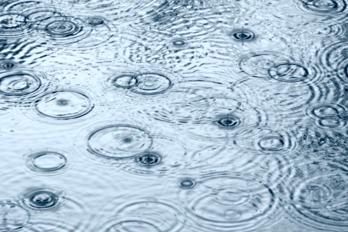
Thunderstorms mixed with melting ice could produce flooding across much of the region on Thursday and Friday morning.

A flood watch has been issued for Northeast Ohio on Thursday and Friday. Thunderstorms are expected to drench the region and cause flooding of rivers and in areas with poor drainage.
"A few of the thunderstorms could become severe with strong damaging winds being the main concern. Strong winds in the wake of a strong cold front may also develop this evening with wind gusts in excess of 45 mph possible," the National Weather Service said.
The heavy rainfall is likely to lead to road closures and other driving difficulties, the National Weather Service warned. The agency said any area prone to flooding should take steps to prevent damage and obstruction.
Find out what's happening in Clevelandfor free with the latest updates from Patch.
"Moderate to heavy rainfall with periods of rain and scattered thunderstorms will produce one to locally two inches of additional rain to the region. Saturated grounds and elevated rivers and streams in advance of the rain have elevated the flood risk," the National Weather Service said.
The rainfall will also dislodge and float ice in rivers, which could lead to jamming and flooding, the agency noted.
Find out what's happening in Clevelandfor free with the latest updates from Patch.
(For more news like this, find your local Patch here. If you have an iPhone, click here to get the free Patch iPhone app; download the free Patch Android app here. And like Patch on Facebook!)
The flood watch is in place for Cuyahoga, Lorain, Ashtabula Inland, Ashtabula Lakeshore, Geauga, Lake, Mahoning, Portage, Stark, Summit, and Trumbull counties. The watch extends into northwest Pennsylvania, as well.
The flood watch will expire at 4 a.m. on Friday.
Photo from Shutterstock
Get more local news delivered straight to your inbox. Sign up for free Patch newsletters and alerts.