Weather
Snow Squalls, Freezing Temps Hit Northeast Ohio
One to 2 inches of snow could accumulate quickly during a storm burst, the National Weather Service warned.

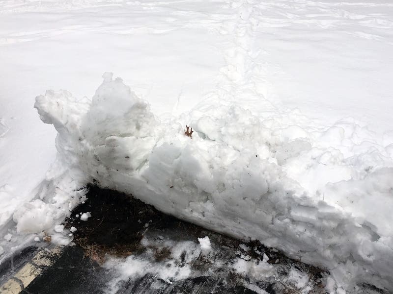
CLEVELAND — Many Northeast Ohioans awoke to find their driveways covered in snow. Morning commutes were marred by icy roads and strong wind gusts which obscured visibility. Conditions are expected to improve, however, before the evening commute.
The National Weather Service issued a hazardous weather outlook for the region, warning, "Snow squalls are possible this morning, bringing rapidly reduced visibility to one quarter mile or less, wind gusts up to 35 mph, and a quick 1 to 2 inches of snow accumulation."
Ashtabula, Lake and Geauga counties could get 3 to 5 inches of snow on Wednesday. Cuyahoga County is more likely to get 1 to 2 inches snow.
Find out what's happening in Clevelandfor free with the latest updates from Patch.
Conditions should improve slightly throughout the day. There's only a 30-percent chance of snow throughout Wednesday evening, and less than .5 inches of snow is expected to fall. Areas prone to lake effect snow could see more accumulation.
However, temperatures are expected to drop dramatically. The overnight low, from Wednesday into Thursday, is 17 degrees. With wind gusts between 10 and 18 mph, conditions will feel much colder.
Find out what's happening in Clevelandfor free with the latest updates from Patch.
The weather should improve as the work week goes on. Temperatures are expected to climb into the low 30s on Thursday and the upper 30s on Friday, before getting into the mid-40s over the weekend.
Current forecasts show partly cloudy skies, but no snow over the weekend.
Get more local news delivered straight to your inbox. Sign up for free Patch newsletters and alerts.