Weather
Thunderstorms To Hit Northeast Ohio This Week
Hurricane Irma's impact could reach Greater Cleveland on Wednesday.

CLEVELAND, OH — Northeast Ohio will feel the distant impact of Hurricane Irma starting Wednesday, according to forecasts from the National Weather Service (NWS). Thunderstorms and heavy rain are possible from the middle of the week through Friday.
Monday and Tuesday should both be relatively clear and sunny, with very little chance for precipitation. Temperatures should hover around the low 70s.
On Tuesday night, things will start to get cloudier and possibly rainier. There's a 40 percent chance of showers late Tuesday night and into Wednesday morning. Less than a 10th of an inch of rain is possible Tuesday night. However, thunderstorms become increasingly possible after 9 a.m. on Wednesday. (To stay up to date on local stories, subscribe to the Patch Cleveland newsletter. As news breaks and the story develops, you will be the first to receive updates from Patch.)
Find out what's happening in Clevelandfor free with the latest updates from Patch.
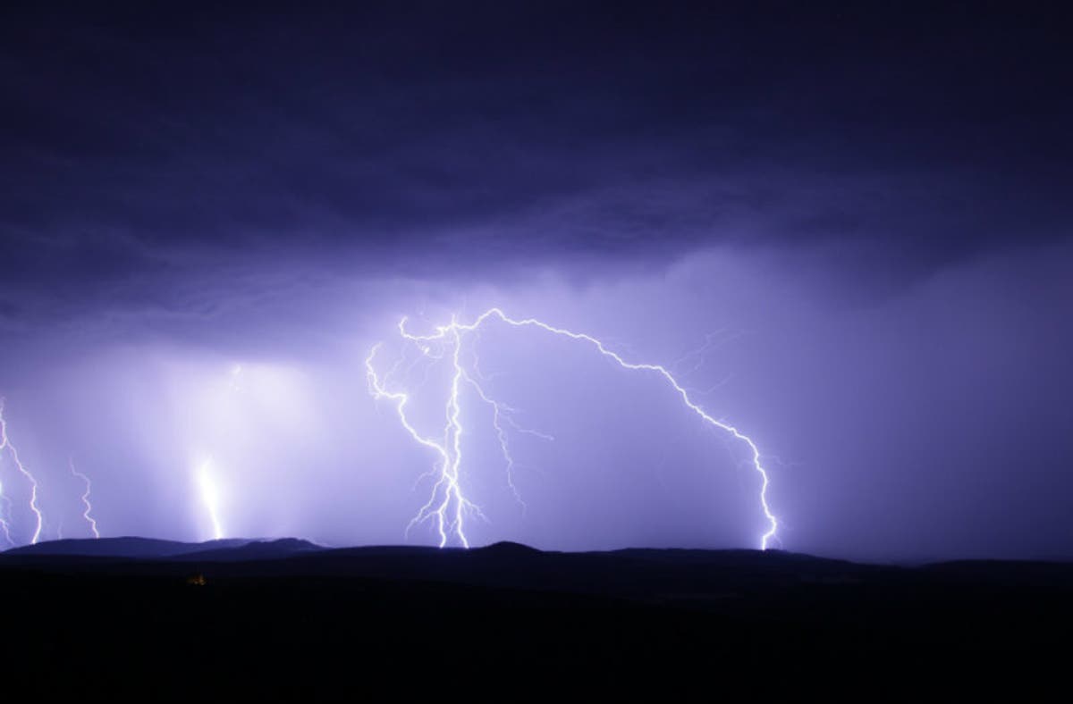
The NWS is calling for a 40 percent chance of thunderstorms from Wednesday morning through Thursday night. Rainfall could continue through Friday morning.
Temperatures should remain fairly constant throughout the week. During the day, temperatures will top out at about 75 degree. At night, things will get cooler with lows expected to be about 60 degrees.
Find out what's happening in Clevelandfor free with the latest updates from Patch.
Hurricane Irma roared onto the Florida coast on Sunday. The storm brought with it 130 mph winds and could hit the Tampa area Monday morning. Patch's Florida reporters are covering the storm here.
Photo from Pixabay
Get more local news delivered straight to your inbox. Sign up for free Patch newsletters and alerts.