Weather
Thunderstorms Likely Monday, Tuesday In Northeast Ohio
The storms are expected to settle into the region Monday afternoon. The rain isn't supposed to let up until Tuesday afternoon.

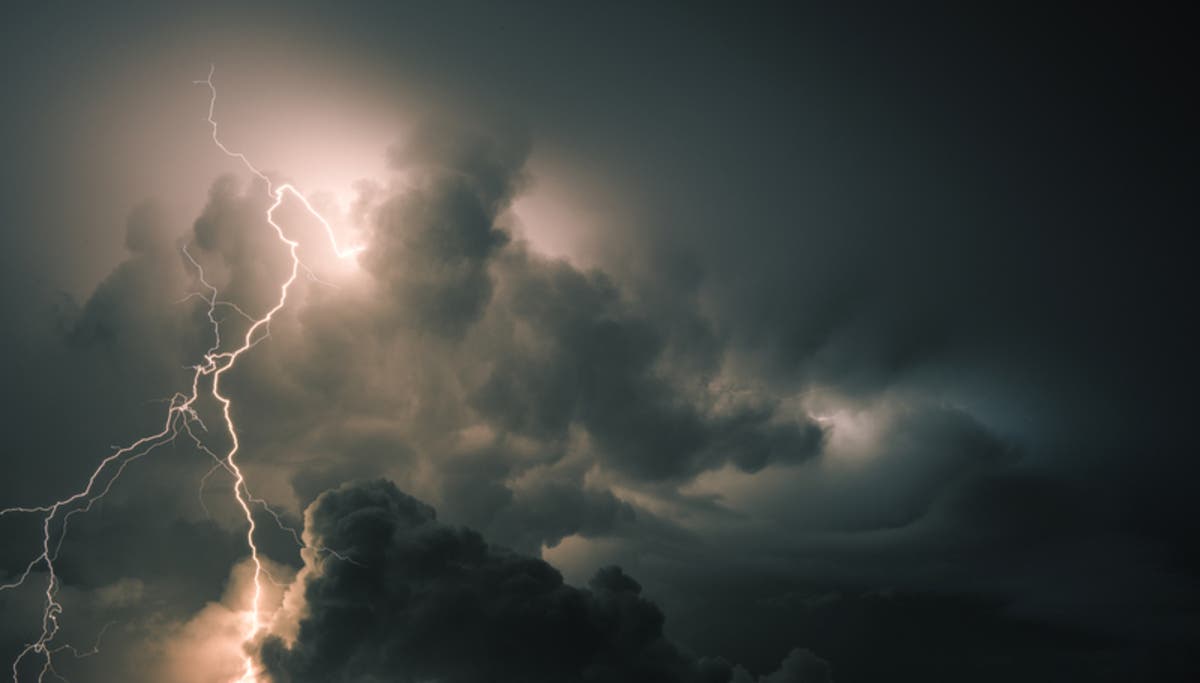
CLEVELAND, OH — Thunderstorms are expected to hit the Northeast Ohio and North Central Ohio regions starting Monday afternoon. The storm front is expected to bring strong rainfall to the area.
"A large complex of showers and thunderstorms originating over Michigan will move southeast across the area through early this afternoon. Locally heavy rainfall is expected with these thunderstorms. Although the morning timing is not ideal for severe weather, a few strong to severe storms are possible," the National Weather Service said.
The initial batch of thunderstorms is expected to taper off by 3 p.m. on Monday. The storms will then return in the early morning on Tuesday, primarily after 2 a.m.
Find out what's happening in Clevelandfor free with the latest updates from Patch.
"Showers and thunderstorms will return tonight as a warm front lifts north. Training of storms may produce another round of locally heavy rain, mainly north of Route 30. A few strong to severe storms will again be possible overnight," the NWs said on Monday morning.
Rainfall should amount to about a quarter of an inch during Monday afternoon. However, the thunderstorms could produce locally heavier rain. Flooding could occur in areas where the thunderstorms hit hardest. The rainfall won't stop until Tuesday afternoon, according to current forecasts.
Find out what's happening in Clevelandfor free with the latest updates from Patch.
Photo from Shutterstock
Get more local news delivered straight to your inbox. Sign up for free Patch newsletters and alerts.