Weather
Winter Storm: 5 Inches Of Snow Could Fall In Northeast Ohio
The National Weather Service said an incoming winter storm could drop heavy snowfall on Northeast Ohio.


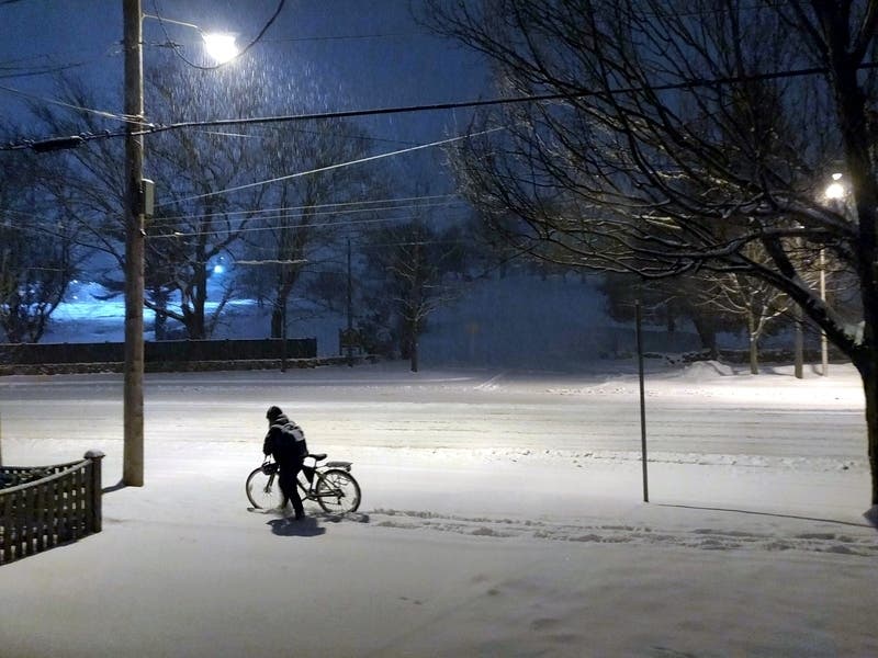
CLEVELAND — Heavy snowfall could hit Northeast Ohio on Wednesday night, the National Weather Service warned. Up to 5 inches of snow is expected to hit the region, with some areas seeing even more snowfall.
The storm is expected to start at 10 p.m. Wednesday evening and continue through Saturday afternoon. With the powerful winds, temperatures will feel like they're in the single digits on Thursday and Friday and possibly Saturday and Sunday, the National Weather Service said.
The snowfall will ride in on powerful winds, with gusts up to 45 mph. The inclement weather will make the morning commute dangerous, the National Weather Service said. Drivers will want to give themselves as much time as possible to get where they're going.
Find out what's happening in Clevelandfor free with the latest updates from Patch.
A low-pressure system is moving from the Ohio River Valley through southwestern Pennsylvania on Wednesday night. The front will create a snow storm throughout Northwest Ohio. However, as the winds move east, the air will get colder and lake effect snow will hit.
Lake effect snow will be "the main concern for Northeast Ohio into Northwest Pennsylvania continuing into the weekend," the National Weather Service said.
Find out what's happening in Clevelandfor free with the latest updates from Patch.
Temperatures should begin to climb into the mid-30s on Sunday. Next week will see rain and temperatures crawling into the low 50s.
Get more local news delivered straight to your inbox. Sign up for free Patch newsletters and alerts.