Home & Garden
Despite Warm Weather, Snowpack Holding Steady
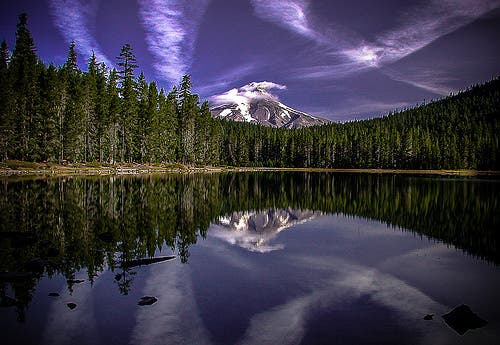
When it comes to the snowpack, Oregon is a tale of two states - east and west.

After an above-average warm winter last year that left much of the state in drought last summer, people have been nervous about what to expect this year.
And with predictions of a strong El Nino, people were more so.
Well, the results so far have not been as bad as expected.
Find out what's happening in Portlandfor free with the latest updates from Patch.
The U.S. Department of Agriculture's Natural Resources Conservation Service, which monitors the snowpack levels around the state, said Friday that most basins around the state are at normal - or even above normal levels.
The statewide average is 92 percent of normal, above last year's number at this time.
Find out what's happening in Portlandfor free with the latest updates from Patch.
Unfortunately, there does seem to be a bit of a split.
The highest snowpack is in the eastern part of the state where they saw more snow than usual and were fortunate to have cold weather to help retain the snowpack.
On the western side of the state, it is a slightly different story.
A warm February has resulted in less snow.
As a result, Mt. Hood Basin and the Willamette Basin have the lowest snowpacks in the state with 77 percent and 76 percent of normal, respectively.
“Temperature will be the key indicator for March snowpack development and retention, since warmer conditions have already resulted in low and mid-elevation snowmelt run-off in several locations,” said Scott Oviatt, NRCS Oregon snow survey supervisor. “Eastern Oregon continues to see the best conditions in the state, due to cooler mountain temperatures.”
Last year's warm winter and low pack caused a drought that exacerbated fire season over the summer, something officials are hoping not to repeat.
Get more local news delivered straight to your inbox. Sign up for free Patch newsletters and alerts.