Community Corner
Eagle Creek Fire: Fire Holds At 7 Percent Contained Through Weekend; Two Community Meetings Monday
The fire held its size at 33,000 acres throughout the weekend as fire crews managed the spread along its eastern and western edges.

Now more than one week old, the Eagle Creek Fire continues to burn along the Columbia River Gorge. Over the weekend, overcast and smoke gave way to blue skies and considerably improved air quality in most of the Portland metro region. According to the Oregon State Fire Marshal, however, those blue skies mean hotter, drier weather, and possibly increased fire activity.
For the Sept. 10 evening update, the Oregon State Fire Marshal said the fire is holding at nearly 33,700 acres, and that it remains seven percent contained. Two community meetings are scheduled for Monday evening at 6 p.m. and 7 p.m. in Troutdale and Cascade Locks. The meetings will allow fire authorities to share information about the Eagle Creek Fire with those community members interested in knowing where firefighting efforts stand.

Current Evacuation Levels:
Find out what's happening in Portlandfor free with the latest updates from Patch.
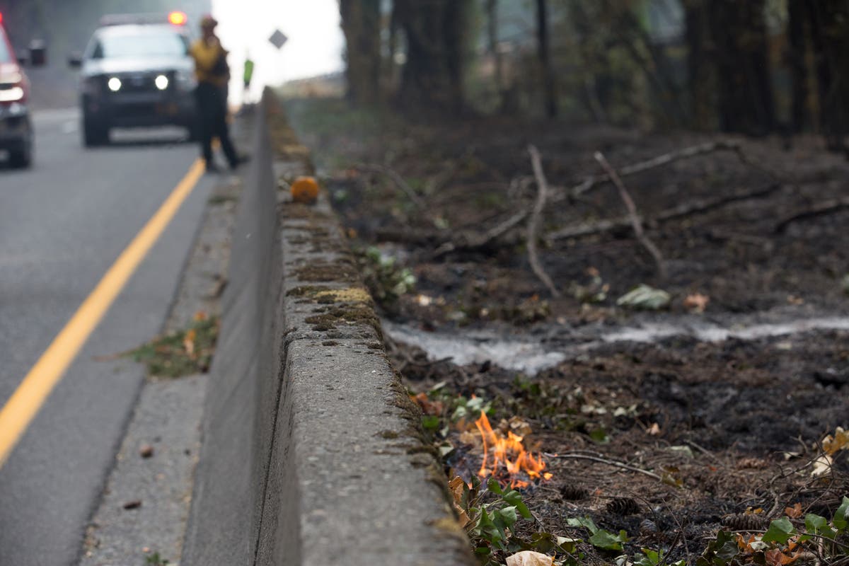
- Interstate-84 is closed from exit 17 in Troutdale to roughly 2 miles west of Hood River, around milepost 62.
- Multnomah County officials have issued Level 3 (meaning leave right now) evacuations for Larch Mountain and the communities of Bridal Veil, Corbett (east of the 38700 block of Columbia River Highway), Dodson, Latourell and Warrendale.
- Corbett/Springdale, west of 38700 block of the Columbia River Highway to the Sandy River, has been set at Level 2 (meaning be ready to evacuate at a moment's notice).
- Troutdale east of Southeast 257th Avenue and north of Southeast Stark Street has been given Level 1 evacuation orders (meaning get your stuff ready to go).
- Mt. Hood Community College, 3691 N.E. 17th Drive, has been turned into an evacuation shelter for the time being with help from the Red Cross, officials said. Anyone evacuating due to fire is encouraged to go there.
- Hood River County officials raised all previously issued Level 1 notices in Cascade Locks to Level 2, and on Friday added a new Level 1 area around the city of Dee.
- The border of the new Level 1 alert begins south of Dee along Collins Road and moves Northeast all the way to Interstate-84.
- Also on Friday, a Level 2 alert was extended east from the Northeast half of Cascade Locks to Viento State Park along the I-84 corridor. Officials said this includes the In-Lieu site and the whole area of Wyeth.
- Other areas affected by the increase to Level 2 includes all areas north of Wa Na Pa to the Columbia River and on the east end of Hood River north of I-84 to the river, as well as Forest Lane and intersecting roads, running east to Government Cove.
- Level 3 evacuations are in place for all residents south of I-84 in the Cascade Locks. An evacuation shelter is located at the Skamania County Fairgrounds in Stevenson, Washington, across the Columbia River.
The 6 p.m. meeting in Troutdale will be held at the Edgefield Amphitheater, 2126 Halsey St. The 7 p.m. meeting in Cascade Locks will be held at the Marine Park Pavilion, 395 S.W. Portage Rd.
The past few days have seen fire crews working to manage the fire's eastern and western edges, the state fire marshal said in the Sunday evening update. Along Interstate-84, where the Oregon Department of Transportation will need to fell thousands of damaged and now dangerous trees, crews are working clean up and tending to any remaining hot spots.
Find out what's happening in Portlandfor free with the latest updates from Patch.
At its lower levels, the fire has burned nearly to the bottom of Herman Creek, the fire marshal said. However, crews at this time do not believe the fire will cross the creek. The fire has shown little to no movement at the upper portions of Herman Creek and along its southern perimeter, which includes the area above the Bull Run Watershed — one of the main sources of water for the city of Portland.
Other natural formations are helping to stymy the fire's expansion along the Pacific Crest Trail, the fire marshal said.
WATCH: Twitter user @JuliusChoongreportedly captured the moment the Eagle Creek Fire began. (Warning: video has language some may find offensive)
Sad to see how big the #EagleCreekFire has grown. Crazy to believe I saw the fire when it started. #columbiagorge pic.twitter.com/4oObRqUpTz
— Julius Chong (@JuliusChoong) September 6, 2017
Chinook helicopters continue to make bucket drops from the Columbia River and crews will continue to conduct burnouts on the Hood River County side of the fire through the beginning of this week, the fire marshal said.
The Eagle Creek Fire began near Cascade Locks around 4 p.m. Sept. 2 after a 15-year-old boy from Vancouver, Washington, allegedly threw a firework into the Eagle Creek Canyon. Oregon State Police have not announced any formal arrests or charges, though the fire investigation reportedly continues.
WATCH: U.S. Forest Service Operations Section Chief Beale Monday provides a Sunday update.
Photo Courtesy: Multnomah County Communications
Get more local news delivered straight to your inbox. Sign up for free Patch newsletters and alerts.