Weather
Major Weekend Storm Could Bring Heavy Rain, Damaging Winds To PA
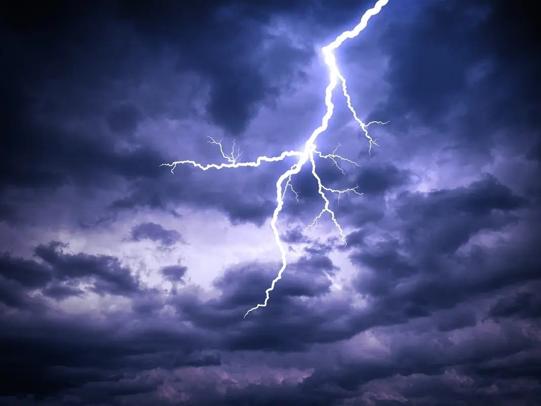
The major, multi-day storm front could knock out power, damage trees, and even bring a rare December thunderstorm, officials warn.

EASTERN PA — A major storm is set to hammer the mid-Atlantic and much of the greater Philadelphia region this weekend, according to forecasters, bringing heavy rain, thunderstorms, and potentially damaging winds that are likely to snarl traffic and potentially knock out power. Flooding is also possible.
A hazardous weather outlook has been issued for much of the region by the National Weather Service.
"Windy conditions may cause isolated instances of tree damage and power outages on Sunday and Monday," the agency said.
Find out what's happening in Across Pennsylvaniafor free with the latest updates from Patch.
The major front is not likely to bring with it any snow due to unusually high temperatures.
"One of the big factors against much snow from a more moderate storm as opposed to a powerhouse system is the extent of warm air in front of the storm," Accuweather forecasters said. "Temperatures will surge well above the historical average for early December -- in some cases, temperatures will peak 15-25 degrees above average. A strong or quickly strengthening storm would be able to manufacture cold air while a weaker one would not."
Find out what's happening in Across Pennsylvaniafor free with the latest updates from Patch.
After a relatively mild, foggy Saturday, rain is set to arrive to the region after 8 a.m. on Sunday, forecasters said. Up to half an inch could fall during the day, with winds up to 20 miles per hour.
Rain is expected to pour down at the rate of 0.50 of an inch to 1 inch per hour at times for several hours, forecasters warn.
"Heavy rainfall will accompany the frontal passage and can cause flooding on streets and highways along with reduced visibility," AccuWeather Meteorologist Grady Gilman said, adding, "Significant ground and air travel delays are likely as the heavy rain, strong winds and thunderstorms come together in the East from Sunday to Sunday night."
Heavy rainfall continue into the night, with a thunderstorm possible around 11 p.m. and continuing heavy wind gusts. Up to 2 inches of rain could fall overnight in southeastern Pennsylvania, according to forecasters.
Rain lingers in the forecast overnight Sunday and until early Monday afternoon. Winds gusts could get up to 60 miles per hour in parts of the region on Monday.
"High winds in the lower part of the atmosphere may be dragged down to ground and sea surface level in the form of powerful gusts ranging from 40-60 mph along the Interstate-95 zone from Sunday afternoon to Sunday night," Gilman added.
In addition, small streams and creeks, like the Skippack, Perkiomen, and Stony creeks are at risk of flooding.
Here's the full forecast, according to the National Weather Service:
Friday
Mostly sunny, with a high near 50. Calm wind becoming south around 5 mph in the afternoon.
Friday night
Patchy fog after 1am. Otherwise, partly cloudy, with a low around 35. Southeast wind around 5 mph becoming calm in the evening.
Saturday
Patchy fog before 11am. Otherwise, mostly cloudy, with a high near 51. Calm wind becoming south around 5 mph in the afternoon.
Saturday night
Mostly cloudy, with a low around 42. South wind around 5 mph.
Sunday
Rain, mainly after 8am. High near 64. Breezy, with a south wind 5 to 10 mph increasing to 15 to 20 mph in the afternoon. Chance of precipitation is 90%. New precipitation amounts between a quarter and half of an inch possible.
Sunday night
Rain and possibly a thunderstorm before 11pm, then rain between 11pm and 2am, then rain and possibly a thunderstorm after 2am. Some of the storms could produce heavy rainfall. Low around 42. Windy. Chance of precipitation is 100%. New rainfall amounts between 1 and 2 inches possible.
Monday
Rain before 8am, then a chance of showers between 8am and 2pm. High near 45. Windy. Chance of precipitation is 100%.
Get more local news delivered straight to your inbox. Sign up for free Patch newsletters and alerts.