Schools
Temple U. to Resume Local Quake Measurements
The university's seismometer had been damaged by flooding.
Temple University's Ambler campus will soon resume contributing data to a network of seismography sensors that help measure earthquakes and other seismic activity in the region.
CBS Philly reports that the instrument, which was installed a meter below the ground two years ago, was taken offline after becoming completely flooded with water. The flooding happened despite a vault intended to protect it from the elements.
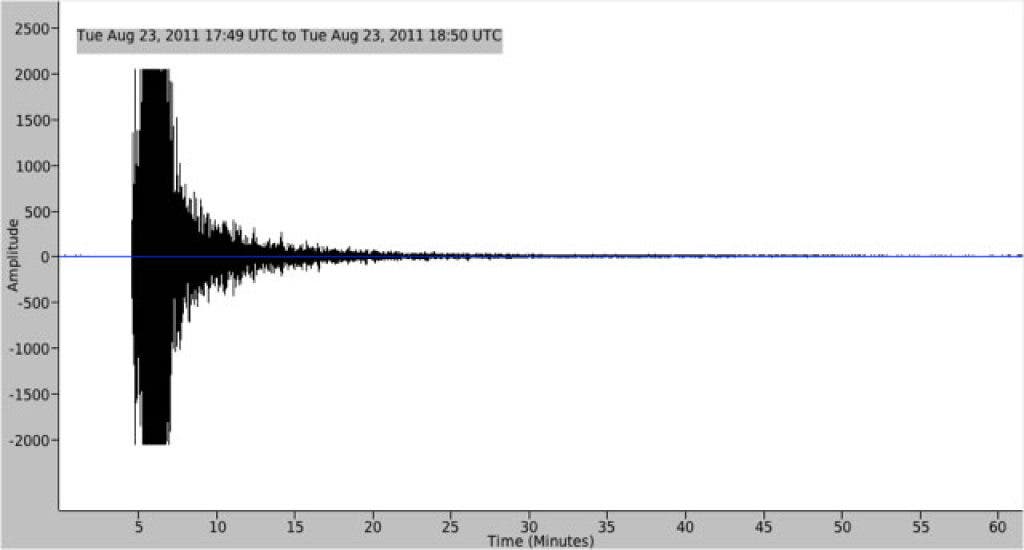
Temple shoulders the full cost of operating the seismometer, which helps locate and measure events such as last year's magnitude 5.9 earthquake in Virginia that shook up much of the East Coast and caused damage to landmarks in Washington, D.C.
Find out what's happening in Lower Gwynedd-Ambler-Whitpainfor free with the latest updates from Patch.
Temple's seismometer is part of the Lamont-Doherty Cooperative Seismographic Network, which comprises 40 seismograph stations in seven Northeast states.
An interactive, real-time map of the last 30 days of earthquakes around the world is available from the U.S. Geological Survey.
Find out what's happening in Lower Gwynedd-Ambler-Whitpainfor free with the latest updates from Patch.
For a more visually arresting (and historical) look at the world's earthquakes, see this map created by data visualization expert John Nelson earlier this year. It shows the locations of all the world's earthquakes since 1898, with the brightest green dots showing the highest magnitude quakes.