Community Corner
Season's First Snow Tuesday? Full Forecast Here
A Hazardous Weather Outlook is in place in Bucks, Montgomery and Chester counties, with a potential for snow in the Tuesday forecast.

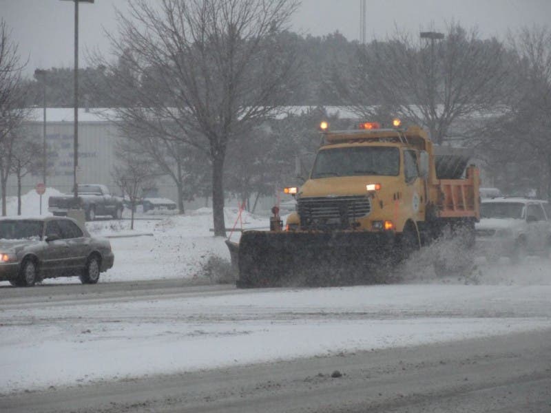
The National Weather Service has issued a Hazardous Weather Outlook due to the potential for snow Tuesday afternoon and evening.
The Hazardous Weather Outlook is in place in the following Philadelphia-area counties: Bucks, Chester and Montgomery. The Lehigh Valley is also under the Hazardous Weather Outlooks.
According to the National Weather Service, “snow showers may produce a light accumulation Tuesday afternoon and evening, especially East Central and Northeast Pennsylvania and into far Northwest New Jersey.”
Find out what's happening in Bensalemfor free with the latest updates from Patch.
The Poconos will likely get the highest accumulation, with an inch expected there, according to the National Weather Service.
It would be the season’s first snowfall.
Find out what's happening in Bensalemfor free with the latest updates from Patch.
Here is the five-day forecast:
Today: Sunny, with a high near 34.
Tonight: Increasing clouds, with a low around 21.
Tuesday: Scattered showers after noon. Mostly cloudy, with a high near 40. Chance of precipitation is 40%. New precipitation amounts of less than a tenth of an inch possible.
Tuesday night: A chance of snow showers, mainly before 7pm. Partly cloudy, with a low around 20. Chance of precipitation is 30%. Little or no snow accumulation expected.
Wednesday: Mostly sunny, with a high near 29. West wind 11 to 16 mph.
Wednesday night: Partly cloudy, with a low around 16.
Thursday: Partly sunny, with a high near 31.
Thursday night: Partly cloudy, with a low around 26.
Friday: Mostly sunny, with a high near 41.
Friday night: Mostly cloudy, with a low around 29.
Get more local news delivered straight to your inbox. Sign up for free Patch newsletters and alerts.