Politics & Government
Easton Flood Maps to be Revised
The Federal Emergency Management Administration (FEMA) is revising local flood plain maps.
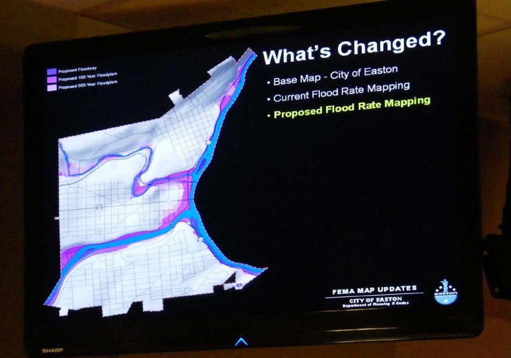

FEMA is updating its flood plain maps, and that may affect some Easton property owners, city planner Brian Gish said Wednesday evening.
"They will be updating, and then voting on it to become law," Gish told the city Planning Commission.
There are more than 200 properties that , and the city is sending out letters notifying those property owners of the reevaluation and possible changes, he said.
Find out what's happening in Eastonfor free with the latest updates from Patch.
The changes by FEMA (the Federal Emergency Management Agency) will not only affect insurance rates in the city, but could also affect zoning, as land in a flood plain is restricted to certain uses, officials said.
Public comment is being taken until March 22 and will be followed by a 90-day appeal period.
Find out what's happening in Eastonfor free with the latest updates from Patch.
City officials said property owners are encouraged to comment, as the appeal process is more formal.
The should offer its own comments on the proposed changes as well, suggested Planning Director Becky Bradley.
Gish said the new maps are expected to be adopted in May 2013.
Property owners might find these links useful:
- Information about the national flood insurance program.
- Information about FEMA mapping project status.
- Information about FEMA Region 3.
- Information about the FEMA community rating system.