For the first time, Frick Park has been mapped into a standardized Orienteering (the sport) format, using map symbols and conventions that are specific to that activity. The Western Pennsylvania Orienteering Club will host a meet on Saturday December 1, registration and starts can be anytime between 10 AM and 1 PM, and everybody must be finished by 2:30 PM (time when the courses officially close).
Orienteering is a outdoor recreational activity in which participants find checkpoints in the woods using solely a topographic map and a compass (no GPS, like in geocaching...). It can be either competitive (runners) or non-competitive (walkers). It is rain or shine. It is all ages (7 year olds and 90 year olds all welcome). It is all skills (beginners, intermediate, advanced). It is inexpensive ($5 for the map - group or family doing event together with just one map only pay $5 for the entire group. If a group has five people and sharing one map, it comes to $1/person).
The meet HQ will be setup in the small shelter at the bottom of the Ravine Trail, also known as "Lower Frick". There is a parking lot for vehicles, reachable from Hutchinson Avenue when coming from S. Braddock Ave.
Find out what's happening in Forest Hills-Regent Squarefor free with the latest updates from Patch.
There is no mass-start. The starts are staggered two minutes apart so that participants don't follow each other. Orienteering is a land navigational challenge, in which one selects the best and optimal route to from point A to point B, considering obstacles, climb, terrain, visual references.
This question comes pretty often, so here is the answer: "can I bring my dog?"... "yes you can, as long as it complies with city ordinances, such as being on a leash"
Find out what's happening in Forest Hills-Regent Squarefor free with the latest updates from Patch.
Beginner instruction is available on site by volunteers.
There will be four courses available:
- beginner ("White")
- advanced beginner ("Yellow")
- intermediate ("Orange")
- advanced ("Red")
The beginner course will have a bird's eye distance of about 2.5 km. All checkpoints are located along a trail or very accessible terrain.
The advanced beginner course will have a bird's eye distance of 3.5 km. Checkpoints are visible from trail and there may be off-trail short travel to reach them.
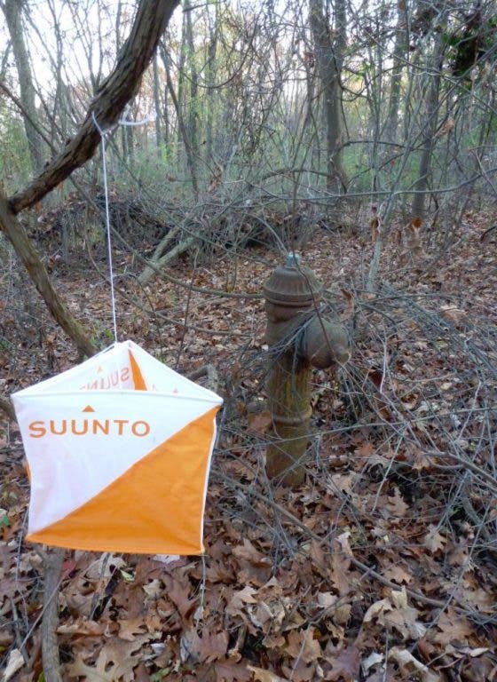
The intermediate course will have a bird's eye distance of about 5 km, and will involve some bushwacking and off-trail navigation.
The advanced course will have a bird's eye distance of about 7.5 km, and have checkpoints located in hard-to-find locations, and given the hills of Frick park, involve also considerable climb and require some athleticism.
Orienteering is a sport that is currently practiced in Scandinavian and Eastern European countries. In the US, it has a small but passionate following. Here in Western Pennsylvania, it has a small group of volunteers of all backgrounds, from normal outdoor lovers, hikers, adventure racers, scouts, geocachers. The club is a 501(c)3 organization (non-profit).