Politics & Government
Borough Council Approves Rail Trail Mile Marker Proposal
Posts will help first responders more easily locate Hellertown and Lower Saucon trail users in the event of an emergency.


Installing mile markers along the will make it easier for first responders to reach sick or injured persons in case of an emergency, Hellertown Borough Council was told June 6.
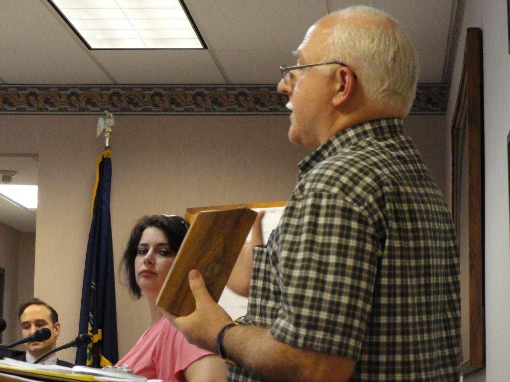
Saucon Rail Trail advisory committee member Roger Jurszak told council members that the mile markers the committee would like to install along the path in Hellertown and Lower Saucon are similar to those used along nature trails in many state and federal parks.
The markers will be made of darkly stained red oak, and will be mounted on six-inch wide beveled posts buried two feet deep in the ground, he said. The mileage points and other information will be carved into the wood and all recessed numbers or letters will be painted a bright yellow.
Find out what's happening in Hellertown-Lower Sauconfor free with the latest updates from Patch.
"The top line below the bevel would list the municipal location," Jurszak explained to council. "SRT--which is Saucon Rail Trail--would be carved below that."
Additionally, he said, a color-coded band will denote the municipality in which a particular mile marker is located.
Find out what's happening in Hellertown-Lower Sauconfor free with the latest updates from Patch.
The committee has suggested that Hellertown's color be green and Lower Saucon's color be orange.
There is currently no plan for the mile markers to extend into Upper Saucon Township, because "at several of the (committee) meetings the need for physical markers was not really given much priority by Upper Saucon," Jurszak said.
The proposed distance between each marker is half a mile, he added, and the cost to the municipalities in which they will be installed is expected to be zero, aside from public works department labor.
Thanks to and --both of which are borough businesses--the markers will be donated, Jurszak said, adding that "Hellertown is very fortunate" to have businesses willing to "step up to the plate when they are asked to do so."
Councilman John Bate, who is Dewey Fire Co. Ambulance Squad Captain, urged Jurszak to keep the design of the markers basic, so the information they provide will be visible and understandable to anyone dealing with an emergency situation.
"In the event of an emergency, your loved one drops...you want to look up, see a number, that number is translated to the 911 Center, (and) now you know where you are," he said.
Bate also urged placing the mile numbers on the sides of the posts, rather than simply on the front and back.
"You're more likely to see them from the sides than you are straight (on)," he said.
A motion unanimously approved by council made placement of numbers on three sides of the post a requirement, but otherwise supported all of the recommendations for the mile markers made by Jurszak and the committee.
According to Jurszak, the northernmost marker will be located at Bachman Street and the rail trail in Hellertown, which is exactly 53 miles from Philadelphia.
The southernmost marker will be just beyond Bingen Road in Lower Saucon, which is 50.5 miles from Philadelphia, he said.
Using the mileage designations that were used by the former railroad will enable trail users to pinpoint their locations on historical maps, he explained.
Get more local news delivered straight to your inbox. Sign up for free Patch newsletters and alerts.