Community Corner
Clouds Increase as Cold Front Approaches
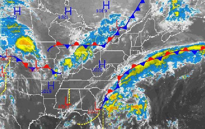
On Wednesday, a cold front will move through the northern Mid-Atlantic with showers and thunderstorms.

Clouds and humidity will increase today as a cold front slowly approaches the Philadelphia and New York City metropolitan areas and high pressure slowly gives way into the Atlantic. A cold front will move through tomorrow with a few showers and thunderstorms followed by excellent weather conditions for the weekend.
High pressure will slowly exit towards New England by this afternoon as a cold front approaches from the west. Clouds will slowly increase through the day with winds from the southwest at 5 to 15 mph. Temperatures will rise into the lower to mid 80s along the immediate coast and mid to upper 80s throughout the rest of the region.
Tonight, scattered to overcast cloud cover can be expected with winds from the southwest at 5 to 10 mph. Temperatures will fall into the lower to mid 60s over the interior and mid to upper 60s along the coast for lows.
Find out what's happening in Malvernfor free with the latest updates from Patch.
Tomorrow, a cold front will move through the northern Mid-Atlantic with showers and thunderstorms. The thunderstorms will feature heavy downpours, occasional to frequent lightning, small hail, and heavy downpours. Winds will be from the southwest at 5 to 15 mph, veering to the northwest in the evening. Temperatures will rise into the lower to mid 80s for highs.
Canadian Polar high pressure will take hold by Thursday morning and remain in control through Saturday with clear skies to scattered cloud cover. An area of low pressure will pass well to the south on Sunday and Monday leading to increasing clouds and a stiff easterly wind. Temperatures for Thursday through Saturday will range from the upper 50s to lower 60s for lows and lower to mid 80s for highs. Temperatures on Sunday and Monday will range from the lower to mid 60s for lows and upper 70s to lower 80s for highs.
Find out what's happening in Malvernfor free with the latest updates from Patch.
There is a threat that the low pressure system will track slightly further to the north leading to a threat for rainfall on Sunday and Monday. At this time, the low pressure system is expected to track through Virginia, sparing the region of rainfall.
Get more local news delivered straight to your inbox. Sign up for free Patch newsletters and alerts.