Community Corner
In Malvern, Freezing Conditions, With An Eye on a Nor'easter
Late-fall conditions have come to the area.

By Steven DiMartino
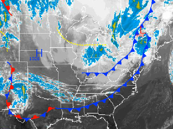
A series of cold fronts is moving through the Philadelphia region, with the potential for frost and freeze conditions by Monday morning. However, all eyes are really on the period starting Tuesday night through the rest of the week, where a slow moving Nor’ easter will be a threat.
High pressure will remain in control on Monday, with clear skies and rather chilly weather conditions. Winds will be from the north and northwest at 5 to 15 mph. Low temperatures will fall into the mid to upper 20s over the northern interior, lower to mid 30s over the western suburbs of Philadelphia. This Monday will feature significant frost and freeze conditions for the region. Temperatures will rebound into the mid to upper 50s for highs.
Find out what's happening in Malvernfor free with the latest updates from Patch.
An area of low pressure will develop off the Delaware and southern New Jersey coast on Tuesday morning, with increasing clouds and showers by the afternoon. This low pressure system will slowly track towards the New England coastal waters from Tuesday night into Friday morning leading to periods of moderate to heavy rain throughout the period and strong nor’easterly winds at 15 to 30 mph with higher gusts. Coastal flooding will be a threat with this storm due to the persistent on-shore flow along with the threat for localized flash flooding due to rainfall. Low temperatures will range from the mid to upper 40s for lows throughout the region. High temperatures will range from the mid to upper 50s for highs over the interior and upper 50s to lower 60s along the coast.
Get more local news delivered straight to your inbox. Sign up for free Patch newsletters and alerts.