Community Corner
In Malvern, Tranquil Conditions to End the Week
Cooler, stormy weather is on the way.

By Steven DiMartino
Tranquil weather conditions will end the week for the Philadelphia metropolitan area, with mild conditions and a light west to southwesterly wind. However, a much cooler air mass is on the way by Sunday morning and very stormy weather conditions are likely to return by the middle of next week.
Once the fog lifts over the region Friday morning, scattered clouds can be expected throughout the Philadelphia metropolitan area. Winds will be from the west and southwest at 5 to 15 mph through this afternoon. Temperatures will rise into the upper 60s to lower 70s.
Find out what's happening in Malvernfor free with the latest updates from Patch.
Scattered clouds can be expected Friday night, with fog redeveloping toward Saturday morning. The fog may be locally dense in some locations with visibility below 2 miles. Winds will be from the southwest at 5 to 15 mph. Temperatures will fall into the upper 40s to lower 50s.
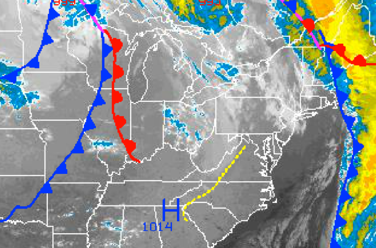
A cold front will move through the region Saturday afternoon into early Sunday morning, with scattered to broken cloud cover along with widely scattered to isolated showers. The showers will be capable of a brief heavy downpour. Winds will be from the southwest at 10 to 20 mph, veering to the northwest as the cold front moves through. Temperatures will rise into the upper 60s to lower 70s through the Philadelphia area.
Find out what's happening in Malvernfor free with the latest updates from Patch.
Cold polar high pressure will be in control by Sunday morning through Monday, with clear skies to scattered cloud cover. Winds will be from the northwest at 10 to 20 mph with higher gusts on Sunday, weakening to around 5 mph by Monday morning. Low temperatures on Sunday will range from the upper 30s to lower 40s. High temperatures on Sunday will range from the mid to upper 50s throughout the region. Low temperatures on Monday will range from the upper 20s to lower 30s. Frost and freeze conditions are expected on Monday morning throughout much of the northern Mid-Atlantic.
A strong upper-level disturbance will dive towards the Mid-Atlantic coastal waters on Tuesday morning and spawn an area of low pressure off the Delaware and southern New Jersey coast on Tuesday afternoon. Clouds will increase as a result, with showers developing from the coastal waters and then expanding back towards the west. Winds will veer to the northeast at 10 to 20 mph as the low-pressure system develops. Low temperatures on Tuesday will range from the upper 30s to lower 40s over the interior and mid 40s along the coast. High temperatures will range from the lower to mid 60s throughout area.
The coastal low will stall off the New Jersey coast for Tuesday night on through Thursday with periods of moderate to heavy rainfall. Rainfall amounts over an inch are likely throughout the region, with significantly higher rainfall amounts along the coast. Winds will be from the northeast at 15 to 30 mph with higher gusts. Coastal flooding will be a concern along the coast along with localized flash flooding due to heavy rainfall. The track and intensity of this storm is still very much in question and thus changes to the forecast are possible. Temperatures will range from the mid to upper 40s for lows and mid to upper 50s for highs throughout the region.
Get more local news delivered straight to your inbox. Sign up for free Patch newsletters and alerts.