Community Corner
Showers and Thunderstorms Through Wednesday Morning
Periods of showers through the week will mark a steady progression to cooler temperatures.

By Steven DiMartino
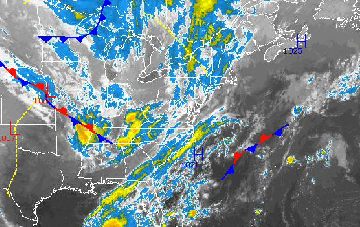
Several disturbances will move through the Philadelphia and New York City metropolitan areas Tuesday on through Wednesday morning, producing periods of showers and thunderstorms along with some very mild weather conditions. A cooler weather pattern will take hold for the end of the week and next weekend with a threat for showers each day.
Tuesday on through Wednesday, a series of disturbances will rotate through the Philadelphia and New York City metropolitan areas producing scattered to overcast cloud cover and periods of showers. The best potential for widespread rainfall will be tonight into tomorrow morning when a very strong disturbance over the Ohio River Valley moves through the northern Mid Atlantic. The strongest thunderstorms will be capable of very heavy downpours and wind gusts over 40 mph. The best potential for showers and thunderstorms will be along the coast. Rainfall amounts of 0.25” to 0.75” can be expected with locally higher amounts in some thunderstorms. Winds will be from the south at 10 to 20 mph with gusts over 30 mph at times, veering to the west by Wednesday evening. Temperatures Tuesday will rise into the lower to mid 70s for highs. Temperatures Wednesday will range from the lower to mid 50s for lows and lower to mid 70s for highs.
Find out what's happening in Malvernfor free with the latest updates from Patch.
High pressure will take hold Wednesday evening on through Thursday, with clearing skies to scattered cloud cover. Winds will veer to the northwest at 5 to 15 mph. Temperatures will fall back to near normal levels. Low temperatures will range from the upper 30s to lower 40s over the northern interior to the lower to mid 40s along the coast. High temperatures will range from the mid to upper 60s throughout the region.
A cold front will drop through the region on Friday morning with a few isolated showers possible. The cold front will stall to the south of New Jersey on Friday afternoon. A series of low-pressure systems will move along the stalled cold front Friday evening on through Monday with periods of scattered showers expected. The best potential for showers will be on Saturday morning with the strongest of the low-pressure systems. Aside from the showers, broken to overcast cloud cover can be expected with winds from the north and northeast at 5 to 15 mph. Low temperatures will range from the upper 30s to lower 40s over the far northern interior, mid to upper 40s over the western suburbs of Philadelphia and New York City, and upper 40s to lower 50s along the coast and in urban areas. High temperatures will range from the upper 50s to lower 60s over the northern interior and mid to upper 60s along the coast.
Find out what's happening in Malvernfor free with the latest updates from Patch.
Get more local news delivered straight to your inbox. Sign up for free Patch newsletters and alerts.