Community Corner
Tranquil Conditions Thursday Will Give Way To Showers Friday
Low temperatures for Friday morning will range from the upper 30s to lower 40s.

By Steven DiMartino
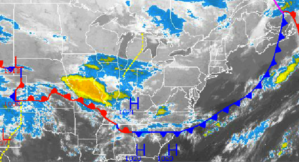
High pressure over the Tennessee River Valley will drift towards New England over the next 36 hours, providing tranquil weather conditions throughout the Philadelphia and New York City metropolitan areas. An area of low pressure developing over the Southern Plains Thursday morning will track towards the New Jersey coastal waters by Saturday morning leading to periods of rain by Friday evening. A volatile and unsettled weather pattern can be expected through next week.
Clear skies to scattered clouds can be expected Thursday on through Friday morning, with dry conditions expected. Winds will veer from the northwest to northeast at 5 to 15 mph through the forecast period. High temperatures this afternoon will rise into the upper 60s to lower 70s. Low temperatures for Friday morning will range from the upper 30s to lower 40s over the interior and mid 40s along the coast.
Find out what's happening in Malvernfor free with the latest updates from Patch.
An area of low pressure will approach from the Tennessee River Valley tomorrow afternoon with increasing clouds and scattered showers. The showers will become widespread Friday night on through Saturday morning, with the heaviest rainfall over southeastern Pennsylvania and southern/central New Jersey where a half inch to an inch of rain will fall with locally higher amounts. Rainfall amounts of a tenth to a half an inch of rain can be expected for locations further north including the New York City metropolitan area. Winds will be from the northeast at 5 to 15 mph. Temperatures on Friday will rise into the lower to mid 60s for highs throughout the region. Temperatures on Saturday will range from the mid to upper 40s for lows and lower to mid 60s for highs.
Scattered clouds can be expected by Sunday and Monday with a few isolated showers remaining a threat as disturbances pass to the south. Temperatures will range from the lower to mid 40s for lows and lower to mid 60s for highs.
Find out what's happening in Malvernfor free with the latest updates from Patch.
On Tuesday, a warm front will lift north with a few showers in the morning followed by scattered cloud cover in the afternoon. A strong cold front will follow on Wednesday with periods of moderate to heavy rainfall expected. Temperatures on Tuesday will range from the mid to upper 50s for lows and lower to mid 70s for highs. Temperatures on Wednesday will range from the upper 50s to lower 60s for lows and mid to upper 60s for highs.
Get more local news delivered straight to your inbox. Sign up for free Patch newsletters and alerts.