By Steven DiMartino
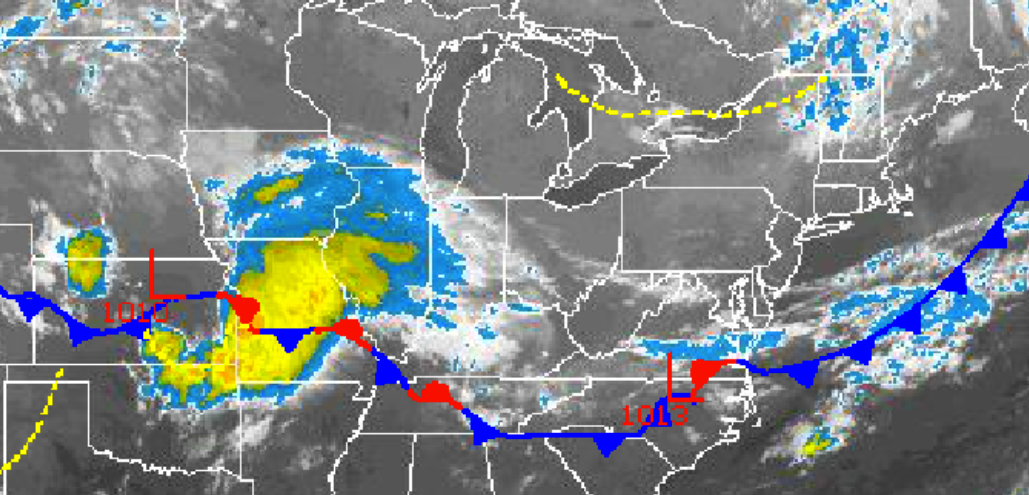
Canadian high pressure will be in control over the Philadelphia and New York City metropolitan areas today on through Sunday morning with clear skies to scattered cloud cover. An area of low pressure will develop off the Virginia and North Carolina coast on Saturday morning leading to broken to overcast cloud cover on Sunday night through Tuesday followed by showers on Wednesday.
Today through Saturday, high pressure will be in control with tranquil weather conditions expected. Winds will be from the northwest at 5 to 15 mph, transport a Polar air mass into the region from the Great Lakes. Temperatures this afternoon will rise into the upper 70s to lower 80s over the northern interior and lower to mid 80s throughout the rest of the Philadelphia and New York City metropolitan area. Low temperatures tonight will fall into the lower to mid 50s over the northern interior, upper 50s to lower 60s in the suburbs, and lower to mid 60s in urban areas and along the coast. Temperatures tomorrow afternoon will rebound into the lower to mid 80s throughout the Philadelphia and New York City metropolitan areas. On Saturday, temperatures will range from the upper 50s to lower 60s for lows and lower to mid 80s for highs.
Find out what's happening in Malvernfor free with the latest updates from Patch.
Clouds will increase on Sunday as winds veer to the northeast at 5 to 10 mph. Dry conditions are still expected throughout the region however with low levels of humidity. Low temperatures will range from the mid to upper 50s over the interior and lower to mid 60s along the coast. High temperatures will rebound into the lower to mid 80s throughout the region, upper 70s to lower 80s along the immediate coast.
The combination of high pressure to the north and low pressure over the Mid-Atlantic coastal waters will produce an easterly fetch from the Atlantic into the Philadelphia and New York City metropolitan areas on Monday and Tuesday. Overcast skies can be expected on both days. Temperatures will remain below normal with lows in the lower to mid 60s and highs in the upper 70s to lower 80s.
Find out what's happening in Malvernfor free with the latest updates from Patch.
A cold front will approach from the west on Wednesday with scattered showers expected. The showers will be capable of producing heavy downpours at times. Temperatures will range from the mid to upper 60s for lows and lower to mid 80s for highs.
Get more local news delivered straight to your inbox. Sign up for free Patch newsletters and alerts.