Community Corner
Unsettled Week of Weather on the Way
An active period of weather is on the way as temperatures cool and the threat of showers increases.

By Steven DiMartino
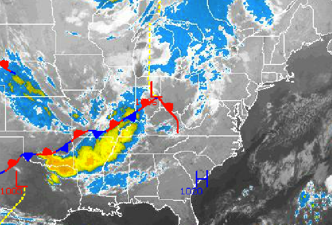
An active weather pattern will develop for the first full week of October that will feature several low pressure systems bringing a threat of showers to much of the Philadelphia and New York City metropolitan areas.
High pressure will exit into the Atlantic Ocean today with increasing clouds through the day. Winds will develop from the south at 5 to 15 mph. Temperatures will rise into the upper 60s to lower 70s for highs throughout the region.
Find out what's happening in Malvernfor free with the latest updates from Patch.
Tonight, clouds will continue to increase with widely scattered showers by tomorrow morning. Winds will be from the south at 5 to 15 mph. Temperatures will fall into the upper 40’s to lower 50s over the interior and lower to mid 50s along the coast.
A series of low pressure systems will pass through the Philadelphia and New York City metropolitan areas tomorrow on through Wednesday with periods of showers expected. Winds will be from the south at 10 to 20 mph, veering to the west by Wednesday evening. Temperatures will remain above normal through the period. Low temperatures will be in the lower to mid 50s over the interior and mid to upper 50s along the coast. High temperatures will be in the lower to mid 70s throughout the Philadelphia and New York City metropolitan areas.
Find out what's happening in Malvernfor free with the latest updates from Patch.
High pressure will be in place for Thursday with clear skies to scattered cloud cover. Temperatures will fall back to near to slightly below normal levels. Low temperatures will be in the upper 30s to lower 40s over the interior and mid 40s along the coast. High temperatures will be in the upper 50s to lower 60s over the interior and lower to mid 60s along the coast.
A cold front will drop south and stall over southern New Jersey and Delaware on Thursday night with showers towards morning. A series of low pressure systems will travel along the cold front leading to periods of showers, heavy at times. Temperatures will remain near to slightly below normal. Low temperature will range from the upper 30s to lower 40s over the interior and mid to upper 40s along the coast. High temperatures will range from the lower to mid 60s throughout the Philadelphia and New York City metropolitan areas.
Get more local news delivered straight to your inbox. Sign up for free Patch newsletters and alerts.