Community Corner
Wet Weekend on the Way
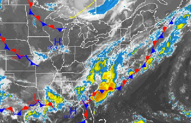
The rain will be heavy at times with total rainfall amounts of one to three inches expected by Sunday night.

By Steven DiMartino
For the first time this summer, almost all of the weekends have features clear skies, seasonable temperatures, and low levels of humidity. This weekend will not feature those attributes, but instead will feature periods of rain.
Today, clouds will increase as an area of low pressure over the Southeast starts to slowly lift northward. Overcast skies can be expected by the evening with scattered showers developing from south to north over the Philadelphia and New York City metropolitan areas. Winds will be from the south at 5 to 10 mph. Temperatures will rise into the lower to mid 80s for highs in the afternoon.
Find out what's happening in Malvernfor free with the latest updates from Patch.
Tonight, showers will increase in coverage as the area of low pressure slowly approaches the New Jersey coastal waters. The rain will be heavy at times. Winds will back to the southeast at 5 to 10 mph. Temperatures will fall into the lower to mid 60s for lows.
Periods of rain can be expected tomorrow morning followed by scattered showers tomorrow afternoon through Sunday. The rain will be heavy at times with total rainfall amounts of one to three inches expected by Sunday night. Winds will be from the southeast and east at 5 to 10 mph. Temperatures will range from the lower to mid 60s for lows and upper 70s to lower 80s for highs.
Find out what's happening in Malvernfor free with the latest updates from Patch.
Showers will linger on Monday with overcast skies as the low pressure system slowly departs. High pressure will take control for Tuesday through Thursday with scattered cloud cover. Temperatures will range from the lower to mid 60s for lows and lower to mid 80s for highs.
Get more local news delivered straight to your inbox. Sign up for free Patch newsletters and alerts.